Val de Bagnes Hike: Fionnay To Bonatchiesse
Fionnay to Bonatchiesse
Fionnay - Lac Louvie - Col su Sarshlau - Bonatchiesse
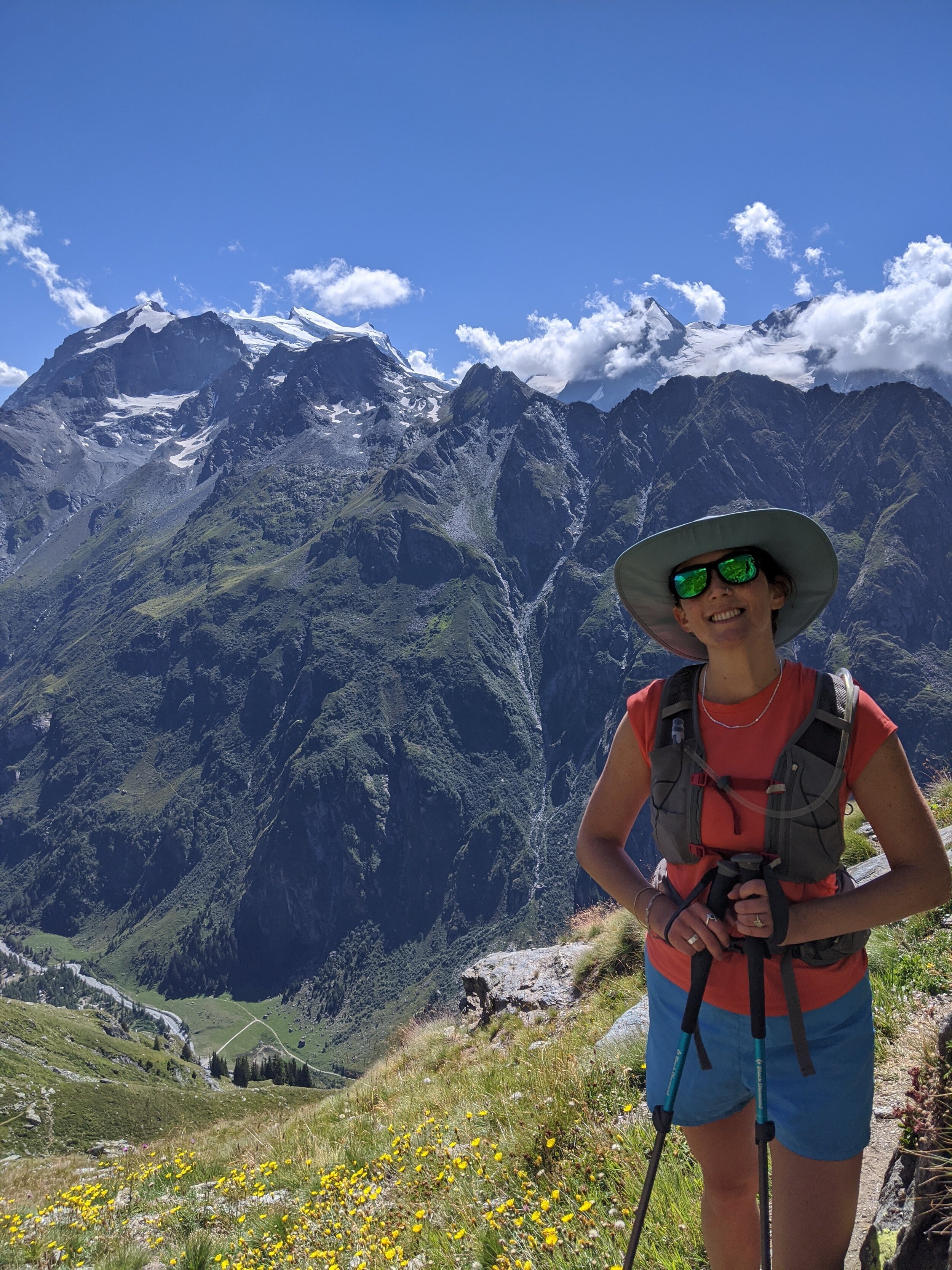
This was one of the most scenic and enjoyable hikes of our entire time in the Swiss Alps. It is a challenging day out, with a couple of very steep sections. In particular, Col su Sarshlau is not to be attempted by those with vertigo. Avoid if the conditions are wet or slippery. The views are incredibly rewarding though!
DISTANCE: 13 kms
MOVING TIME: 5hrs 37min | TOTAL TIME: 6hrs 26min
ASCENT: 1,399m | DESCENT: 1,307m


Route Description
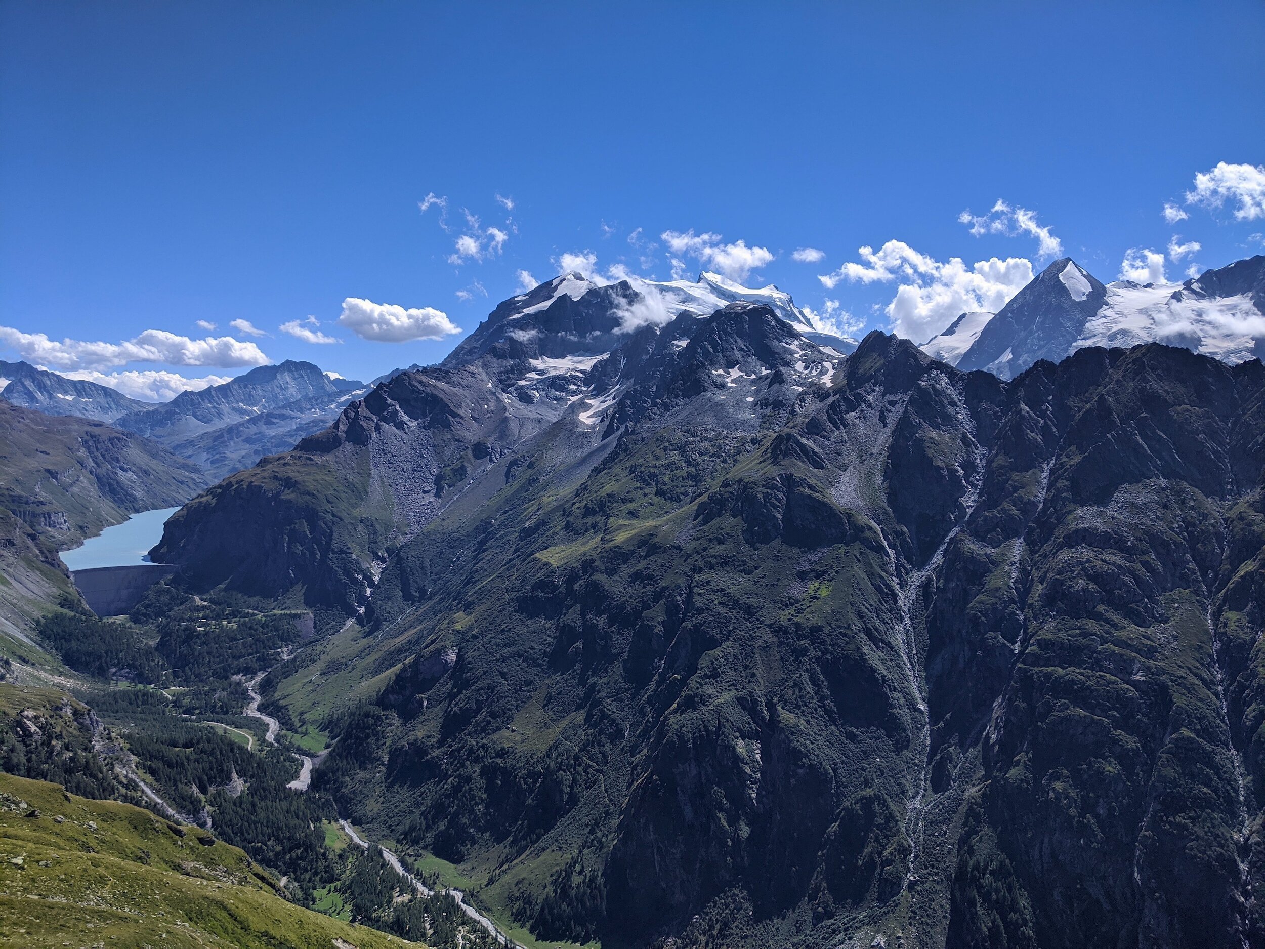
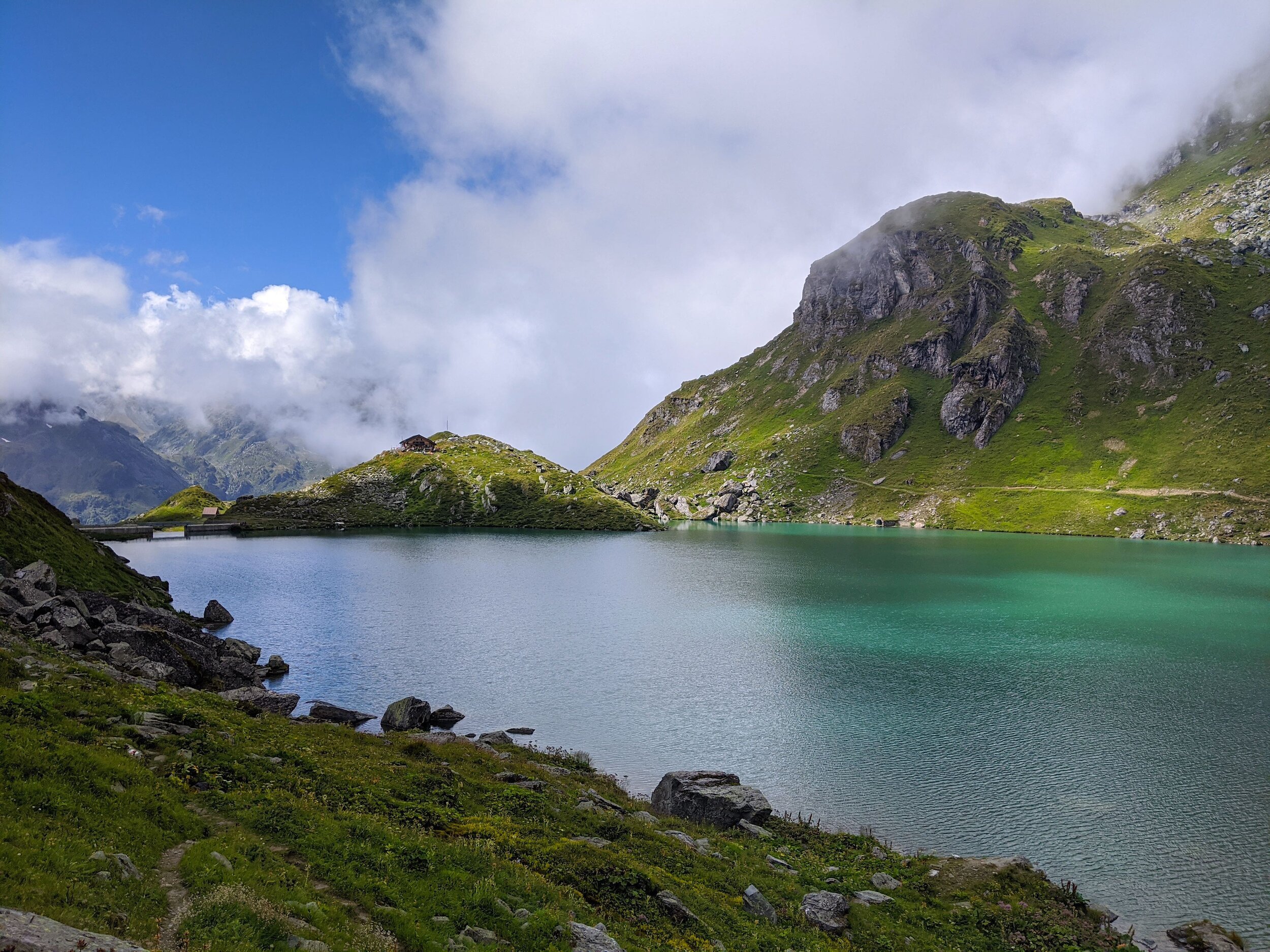
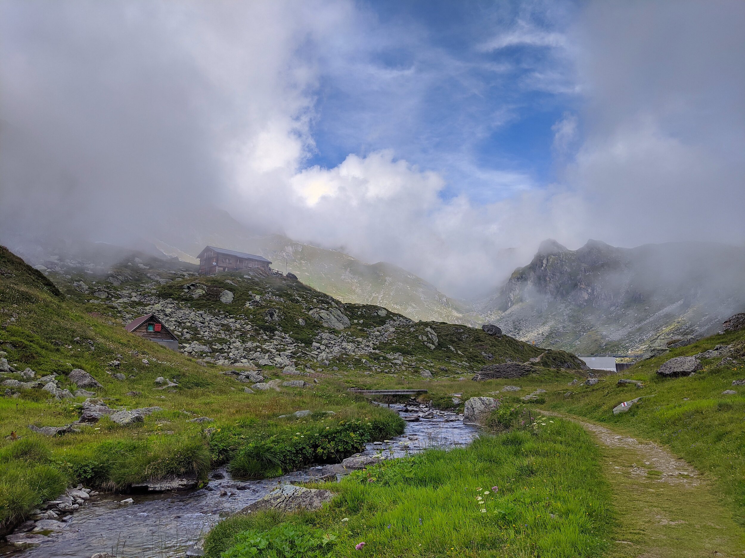
With your back to Fionnay town, cross the main road to Mauvoisin, and join the footpath with clear signs to Lac Louvie. The path soon gets steep, and the incline is continuous. Switch back after switch back, you will climb the steep mountain edge up to Louvie. The way is very clearly marked, and sure under foot. This ±900m climb is challenging and requires fitness, but is not too difficult or technical under foot. There is a sturdy bench and picnic table around half way up, with fabulous views of the Bagnes Valley, Lac Mauvoisin, and Combin Massif. As you reach the basin in which the Lac is situated, you will wind over some mulchy, wet areas and soon see the Cabane on the left above you. Follow the short incline up to the cabane and enjoy a well deserved breather with views over the lac.
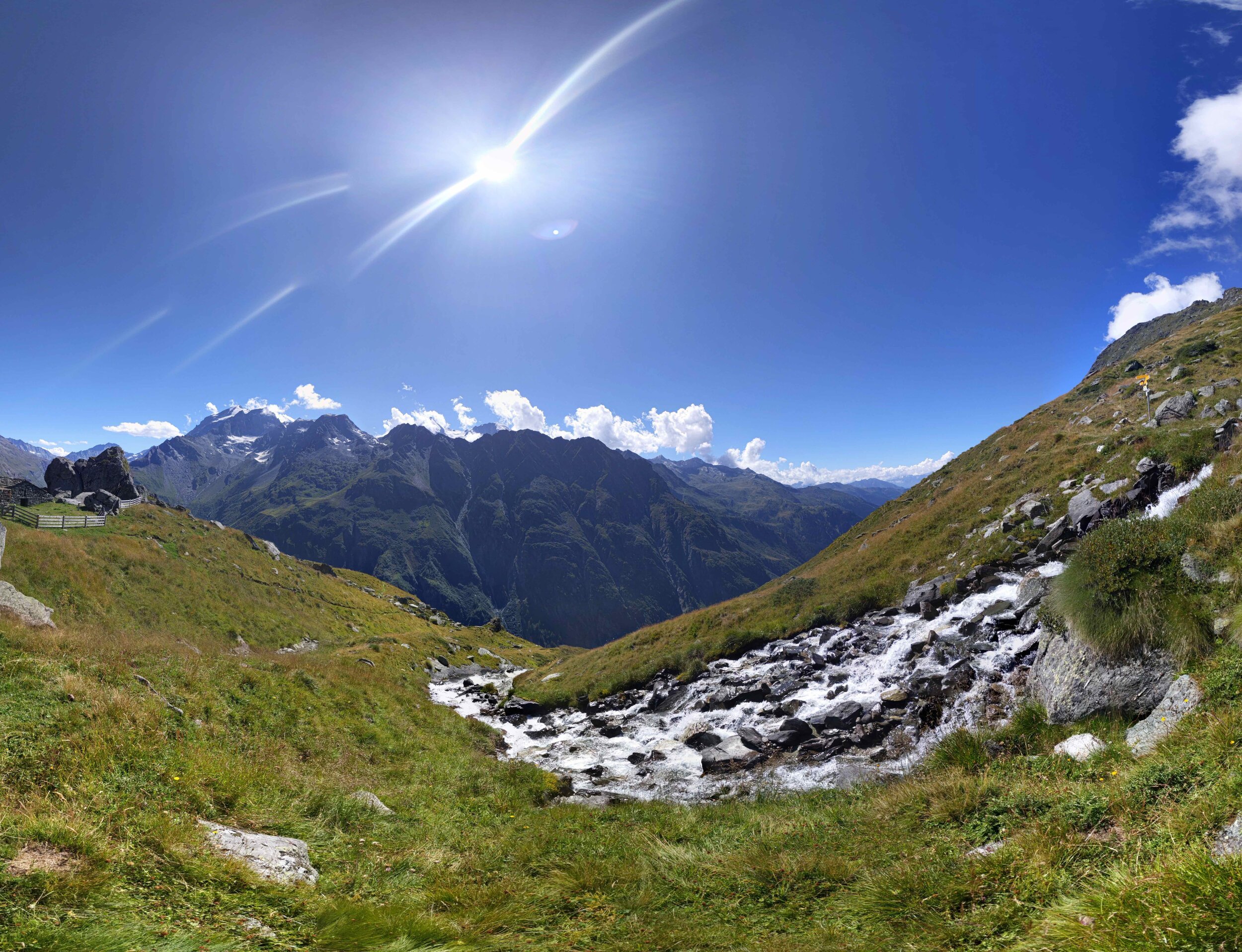
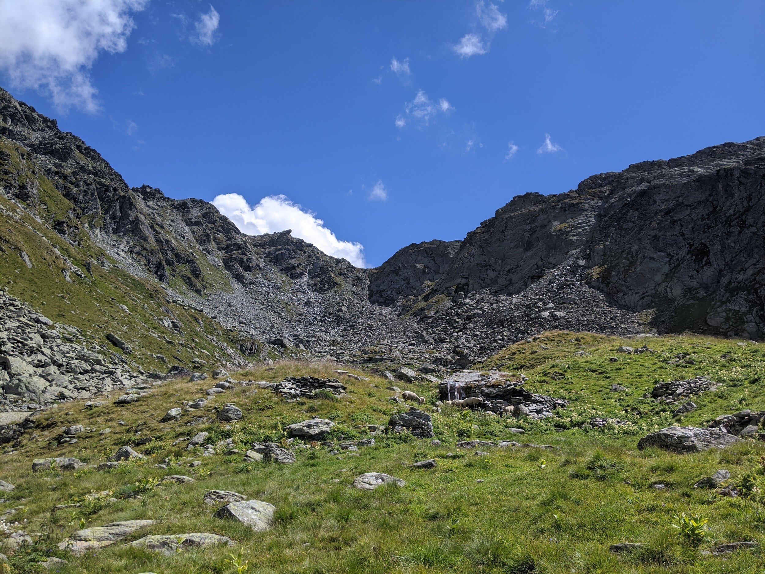
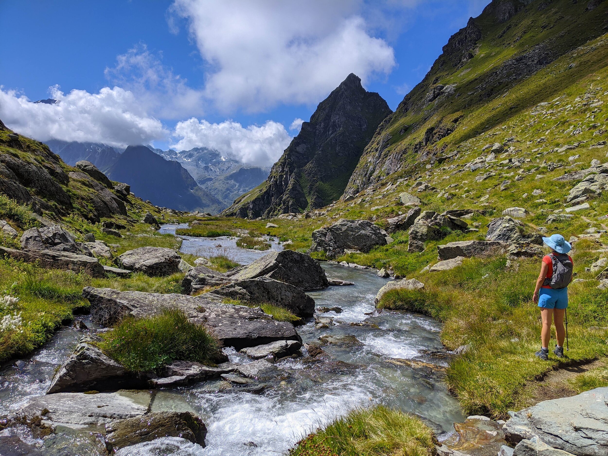
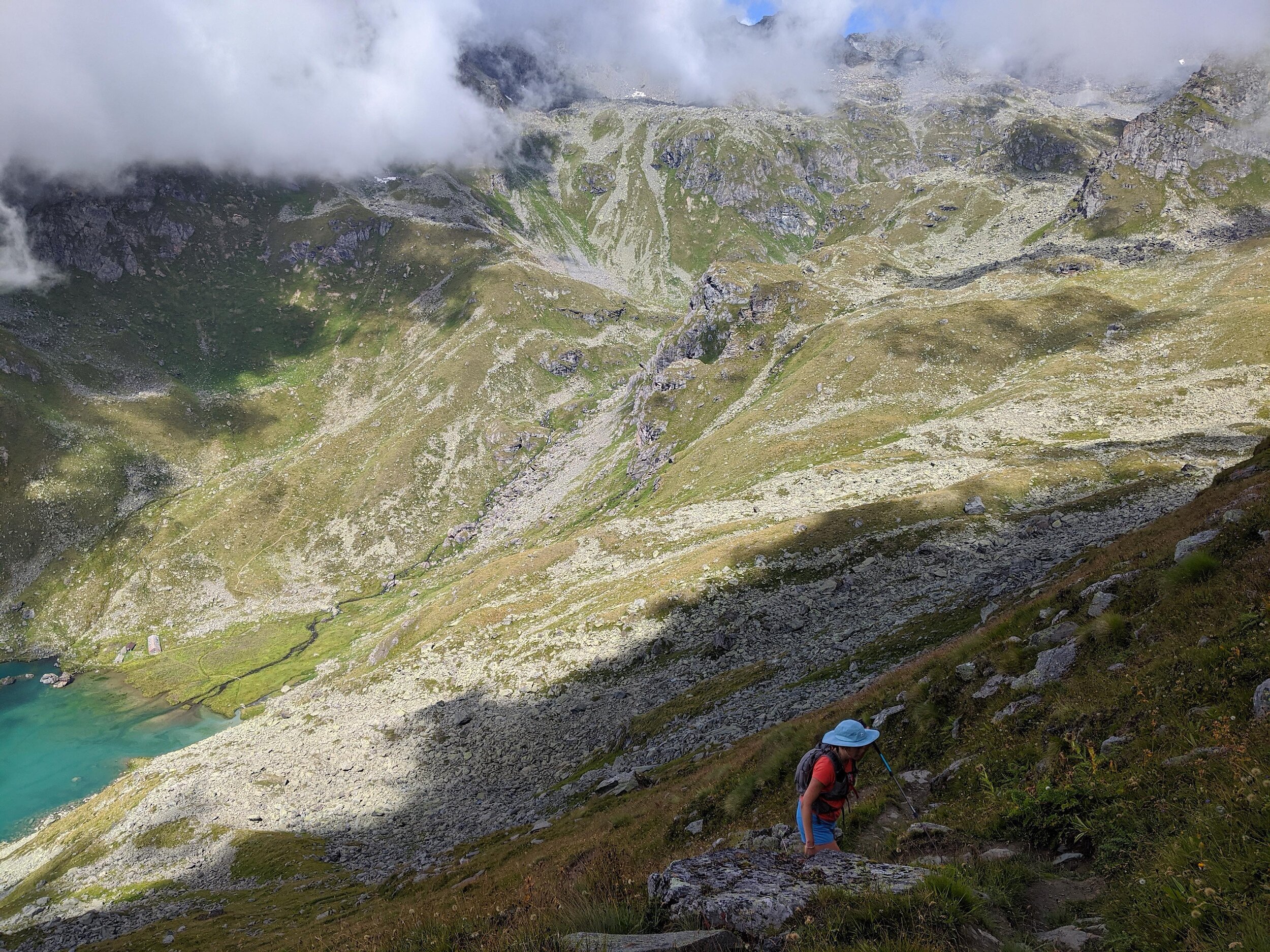
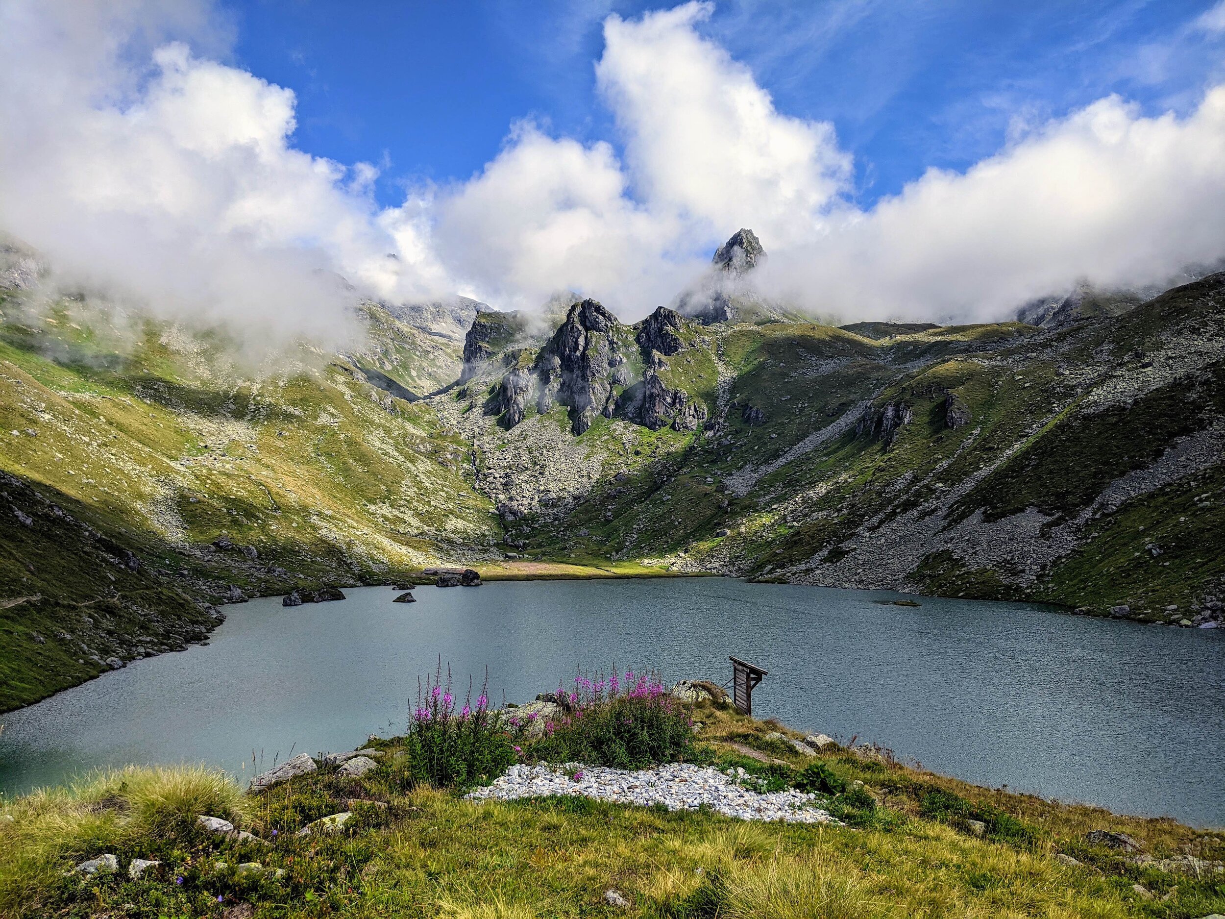
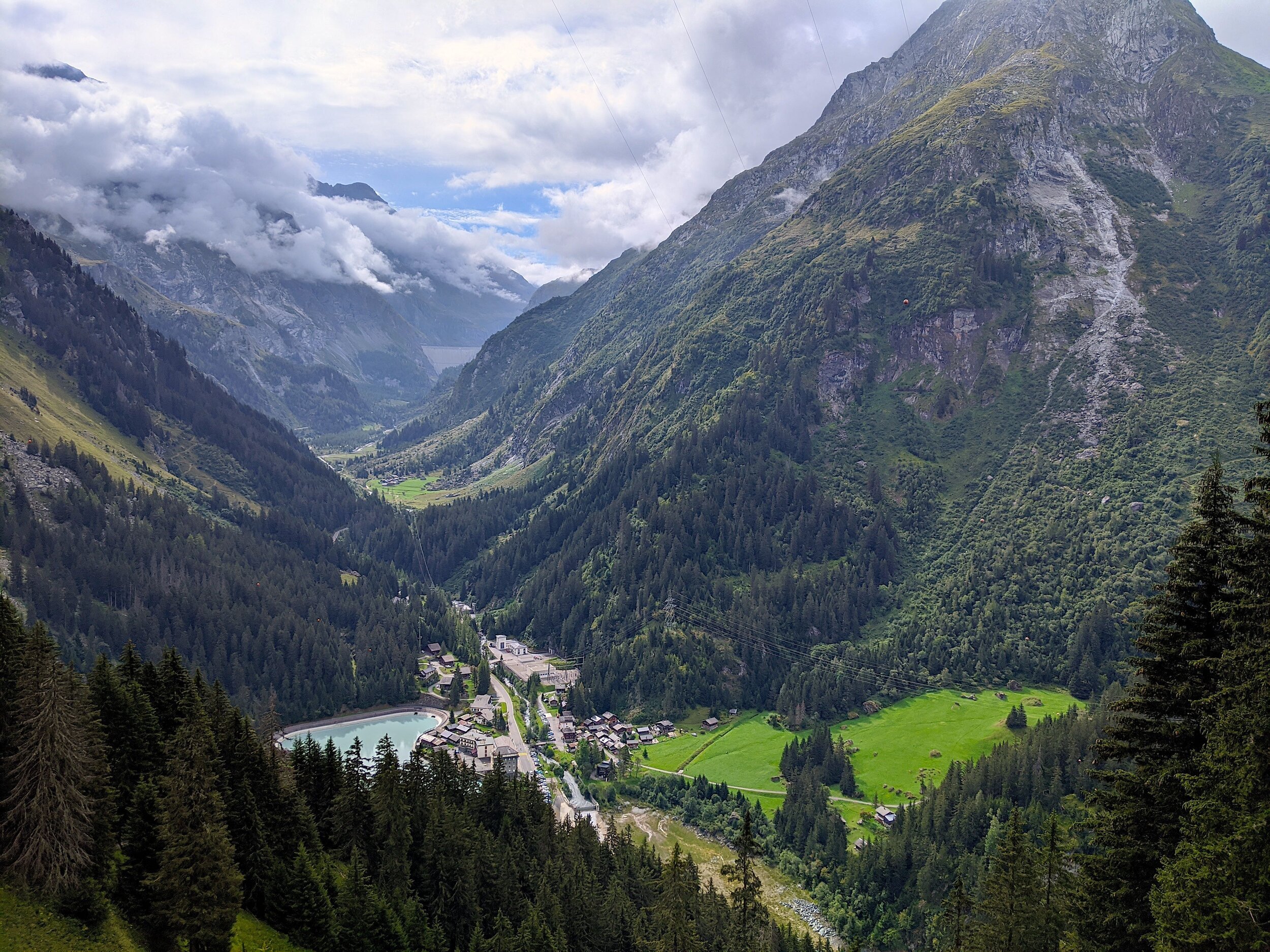
When you set out again after the rest stop, you have two choices. You can go to the left, and circumnavigate the lac before joining with the path to Col du Bec d’Aigle, or you can take the slightly more direct route to the right, crossing a bridge and soon finding the path up to the col, which will be a sharp right turn away from the lac. This section up to Col du Bec d’Aigle is challenging! It is very steep near the top. The views are rewarding though! From the Col, begin your descent on a well-marked path towards a large stream in the crevice of the valley, which offers another refreshing stop at Ecurie du Da. Continue across the river and wind up towards a small plateau, with sheep grazing and small tributaries running through. This offers a pleasant flat section before your last ±200m ascent of the day. This is where we stopped for a sandwich and the dregs of our coffee flask!
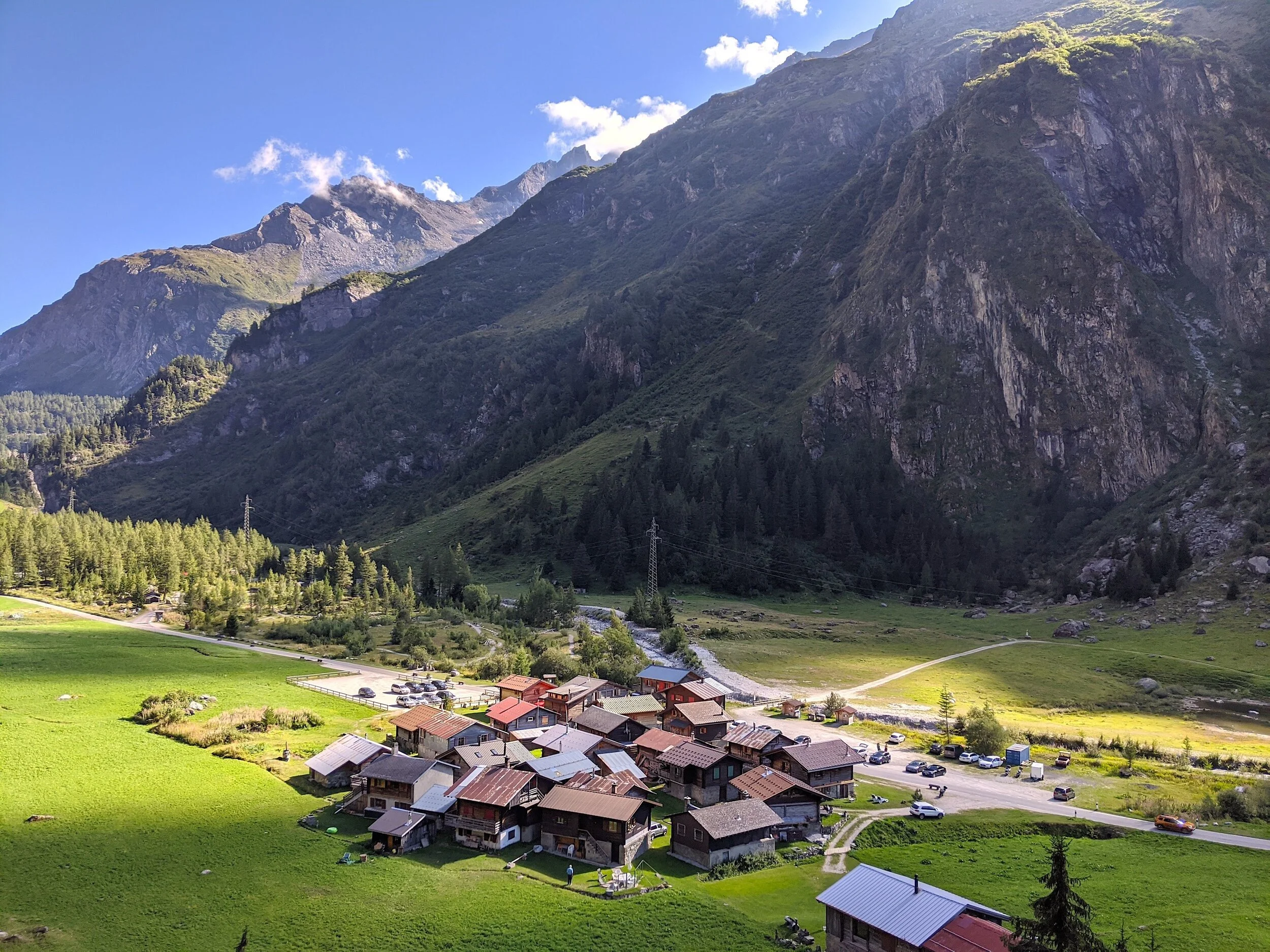
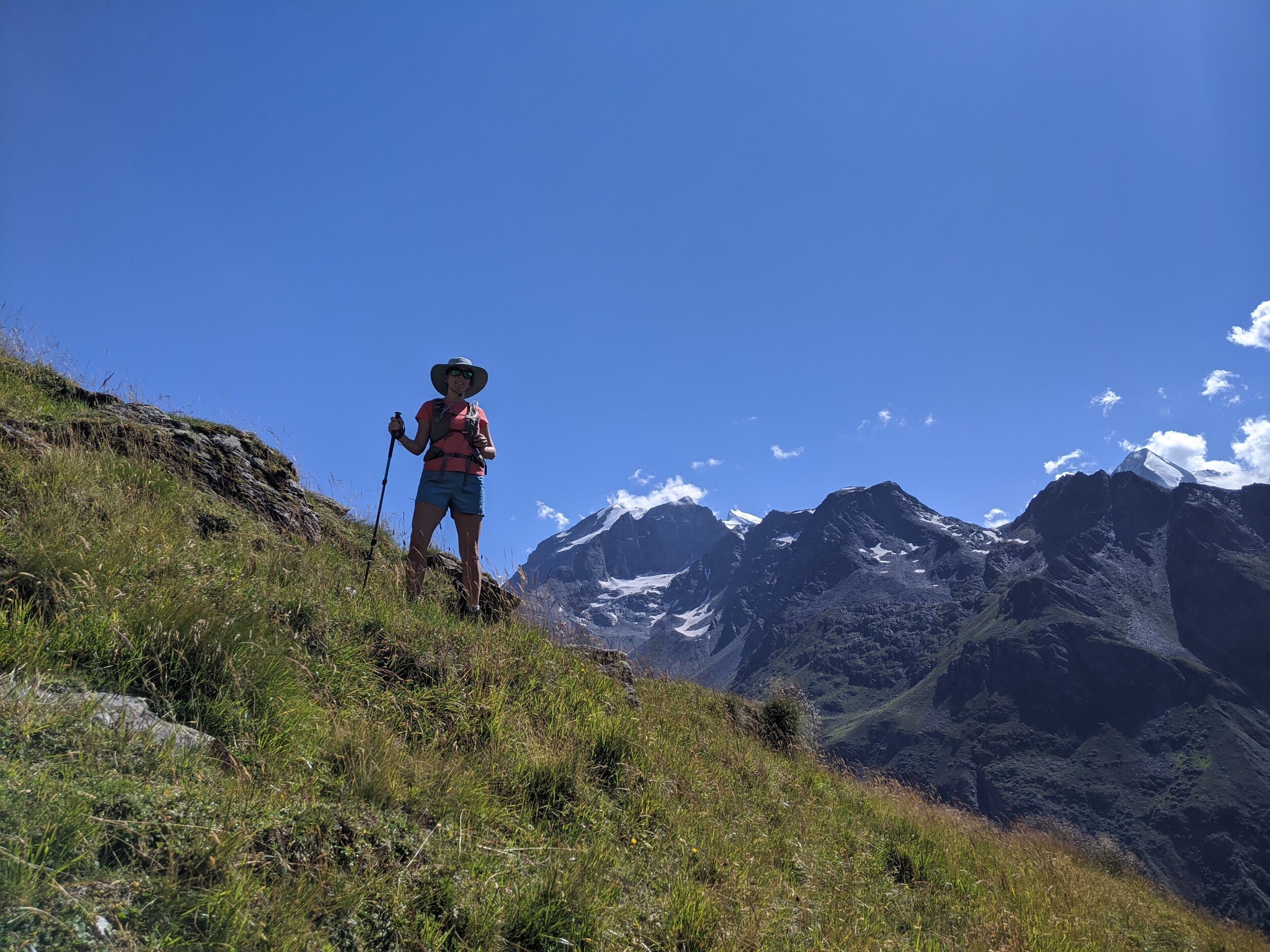
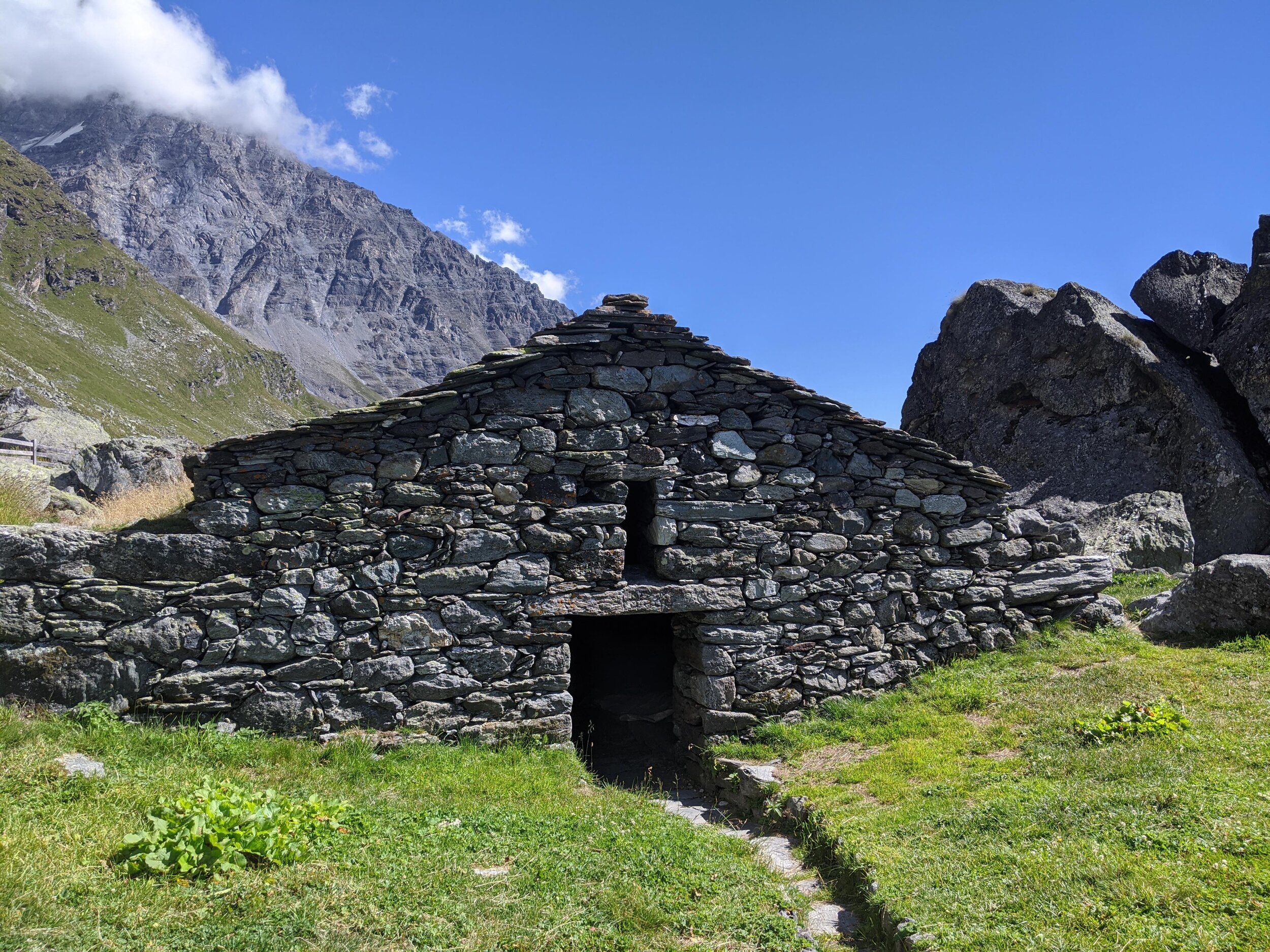
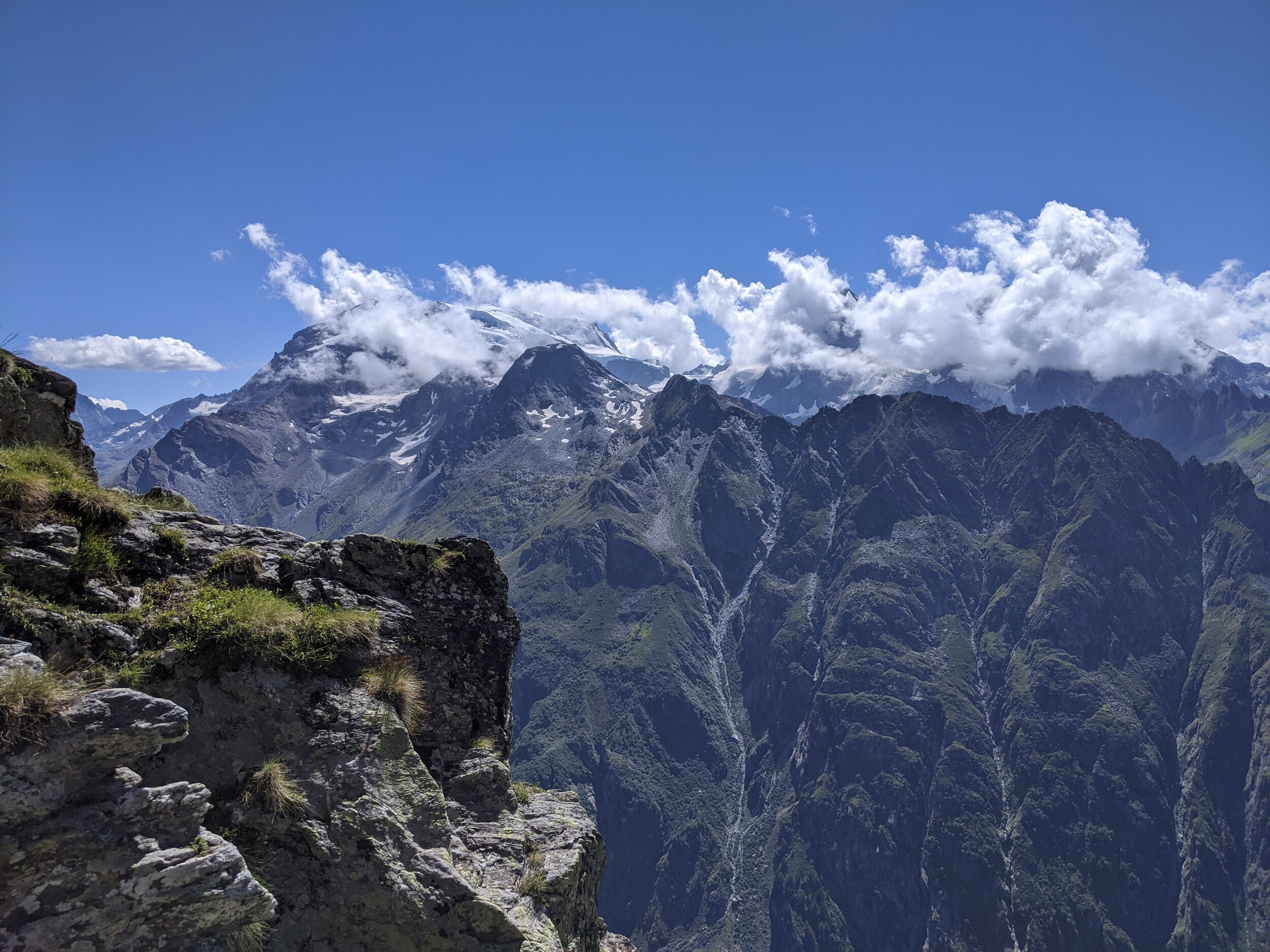
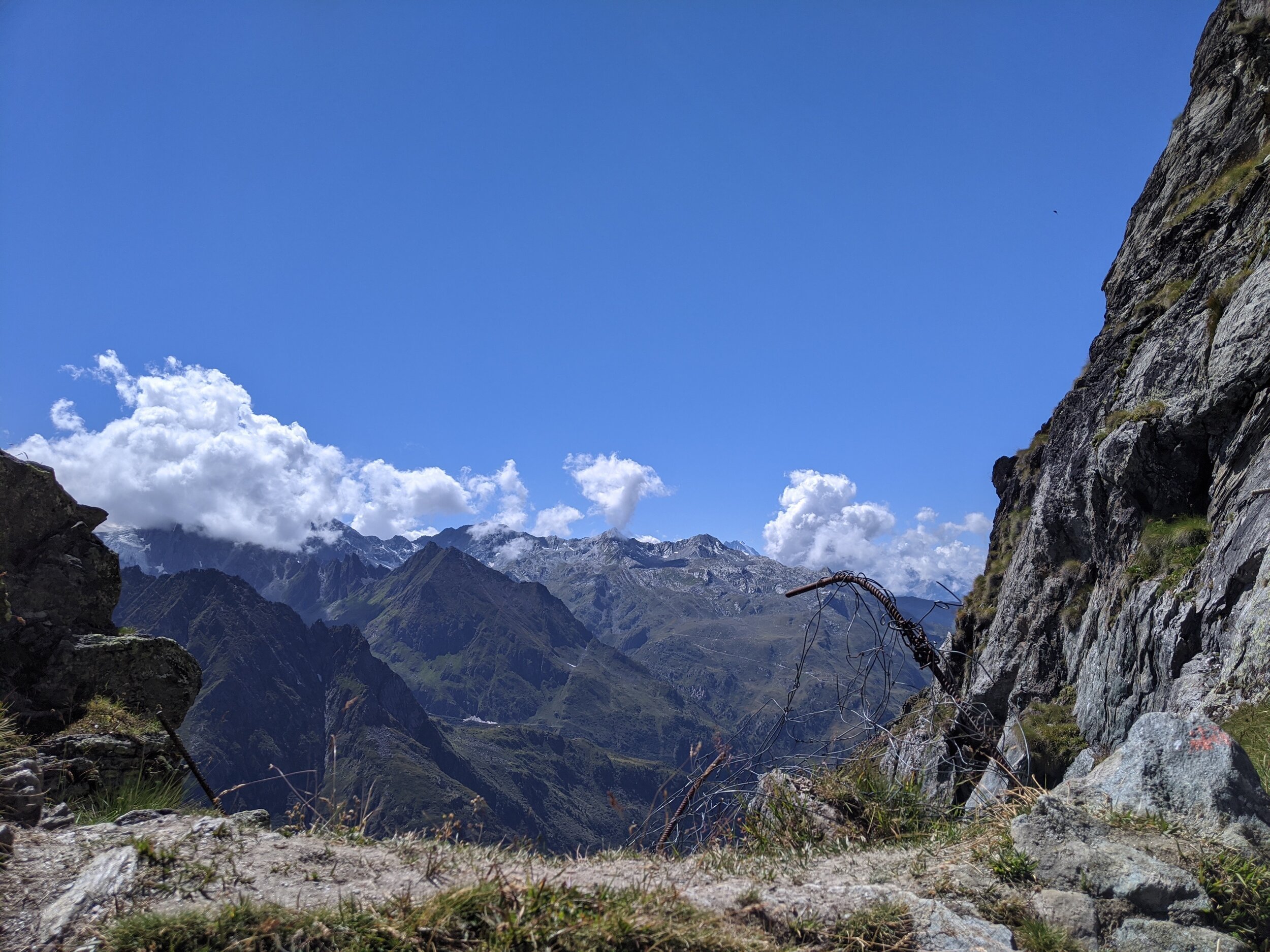
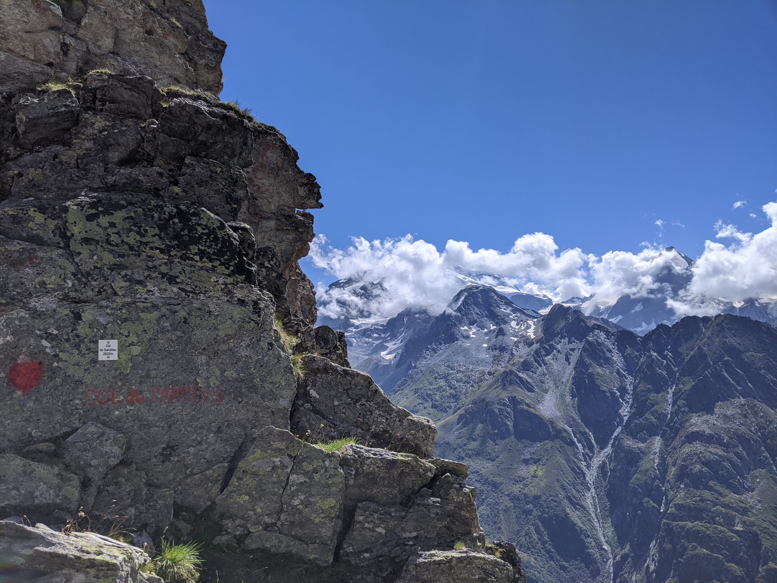
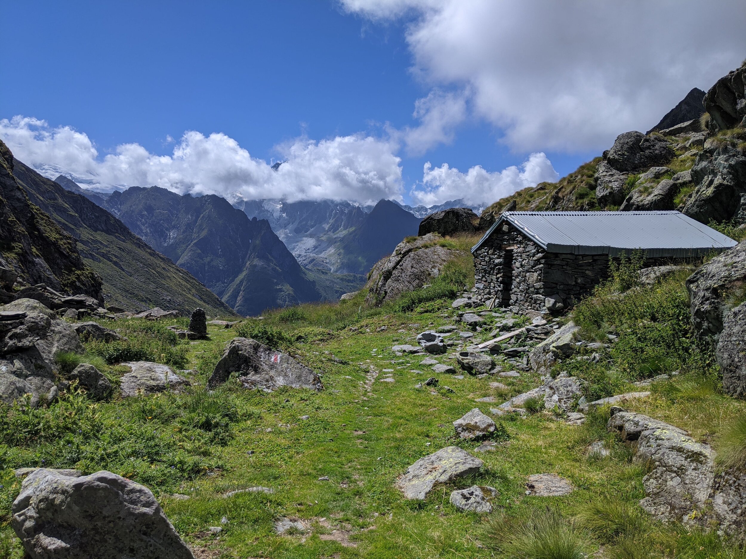
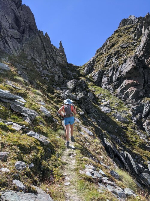
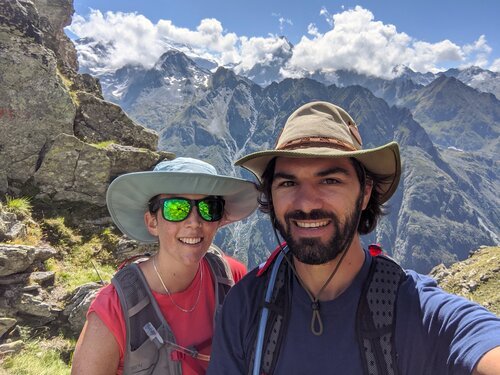
The steepest sections of the day are on either side of Col su Sarshlau. You will have to scramble over rocks and shale. The Col itself is breathtaking! It could be said that it is breathtaking, both for the beauty of views (look behind you to see Mont Fort, peeking up to say hello!), and the vertigo! The Col is under a metre wide. Take care with your footing as you admire the views, and as you begin your long descent. The path has some loose sections under foot. You will reach a grassy flat section with the archaeological site of Ecurie du Cret. Amazing photos and history on offer! A little after the archaeological site, you will reach a fork in the path. Take the right fork, down into the Valley. The descent becomes steep again with switchbacks through a pine forest. Eventually you will pop out above the picturesque Bonatchiesse hamlet. Cross a grassy field and walk directly through the ancient buildings. There is a cute restaurant/cafe here

Click on the map above to gain full Suunto map and stats for route.
Does the idea of hiking around the stunning high-altitude ski-resort town of Verbier in the Swiss Alps excite you?
Join Nina on a 6 day guided hiking route through the Bagnes Valley, starting in Verbier!