Tour du Mont Fort: Hiking Route Guide
Tour du Mont Fort
Fontaney - Cabane Mont Fort - Col de la Chaux - Grand Désert - Lac du Grand Désert - Lac de Cleuson - Tortin
A high-altitude big day hike with some spectacular, otherworldly vistas. Recommended for those who are fit and sure on their feet. There can be sections of snow and ice to traverse over even in the height of summer. Make sure you align your hiking times with the cable car schedule (especially to be able return to Verbier!)
DISTANCE: 18,39km
MOVING TIME: 5hrs 40min | TOTAL TIME: 6hrs 49min
ASCENT: 809m | DESCENT: 1188m


Route Description
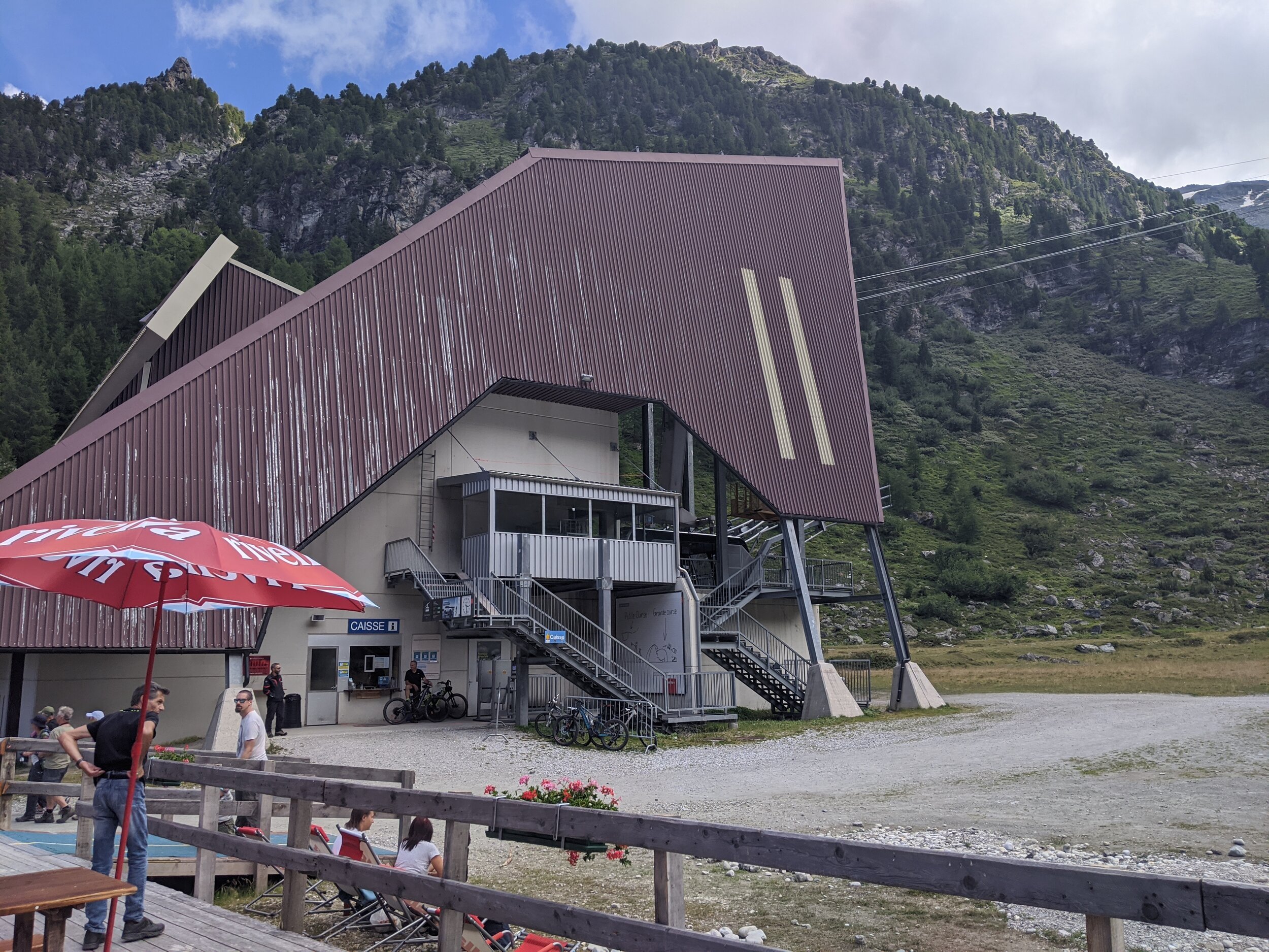
Many hikers choose to begin the Tour du Mont Fort at the Col des Gentianes gondola/cable car station. We decided to add on an extra challenge and more altitude to gain over the day by setting out from Fontenay gondola station. The key for completing this hiking route is the time available between gondolas. Take the very first cable car up to Fontenay (in summer months, at 08:30am), and you will end up taking the very last cable car from Tortin to return to Le Chaux, then Fontenay and down to Verbier (at around 16:00pm). The cable car journey from Tortin to Verbier - with stops between - is at least an hour.
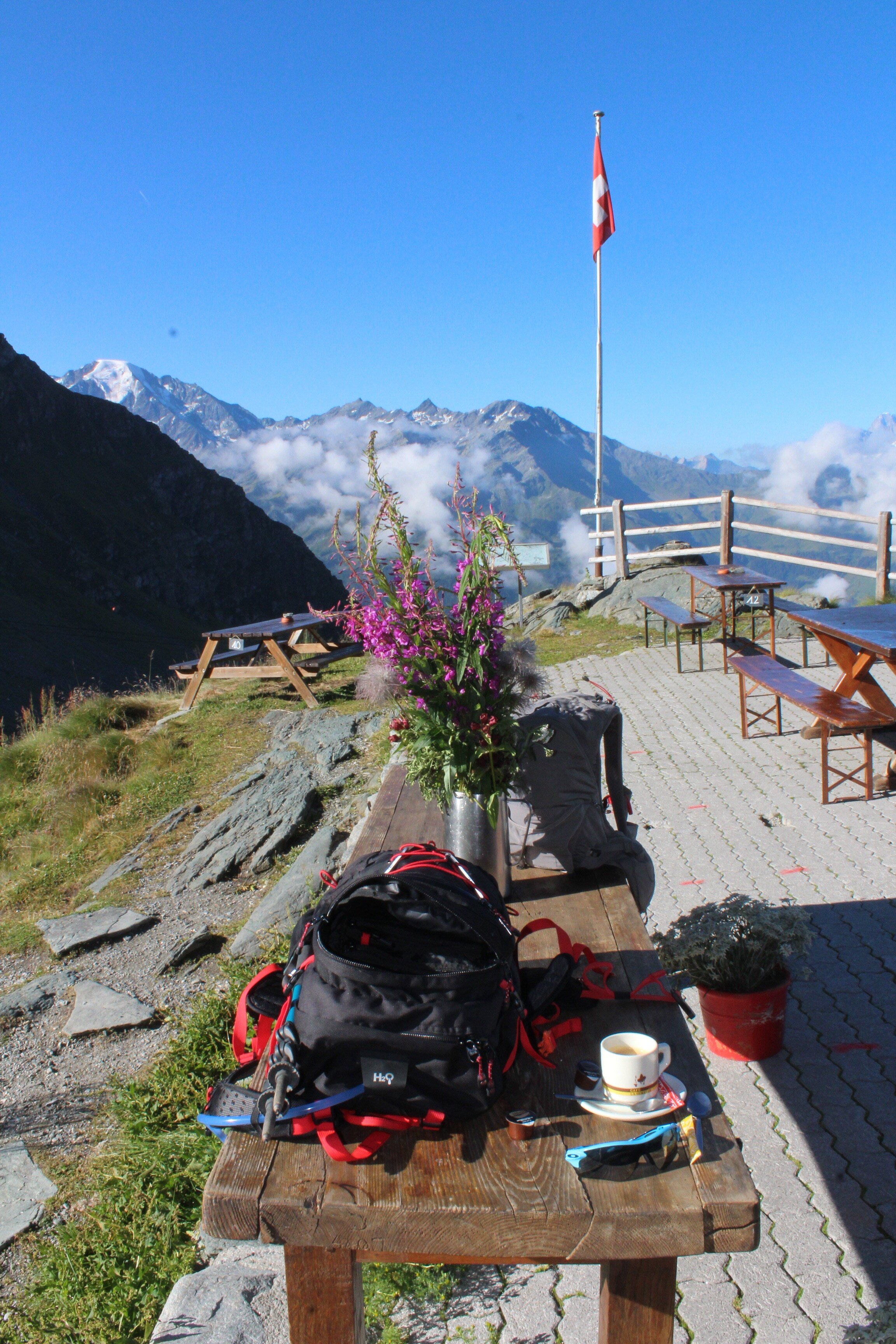
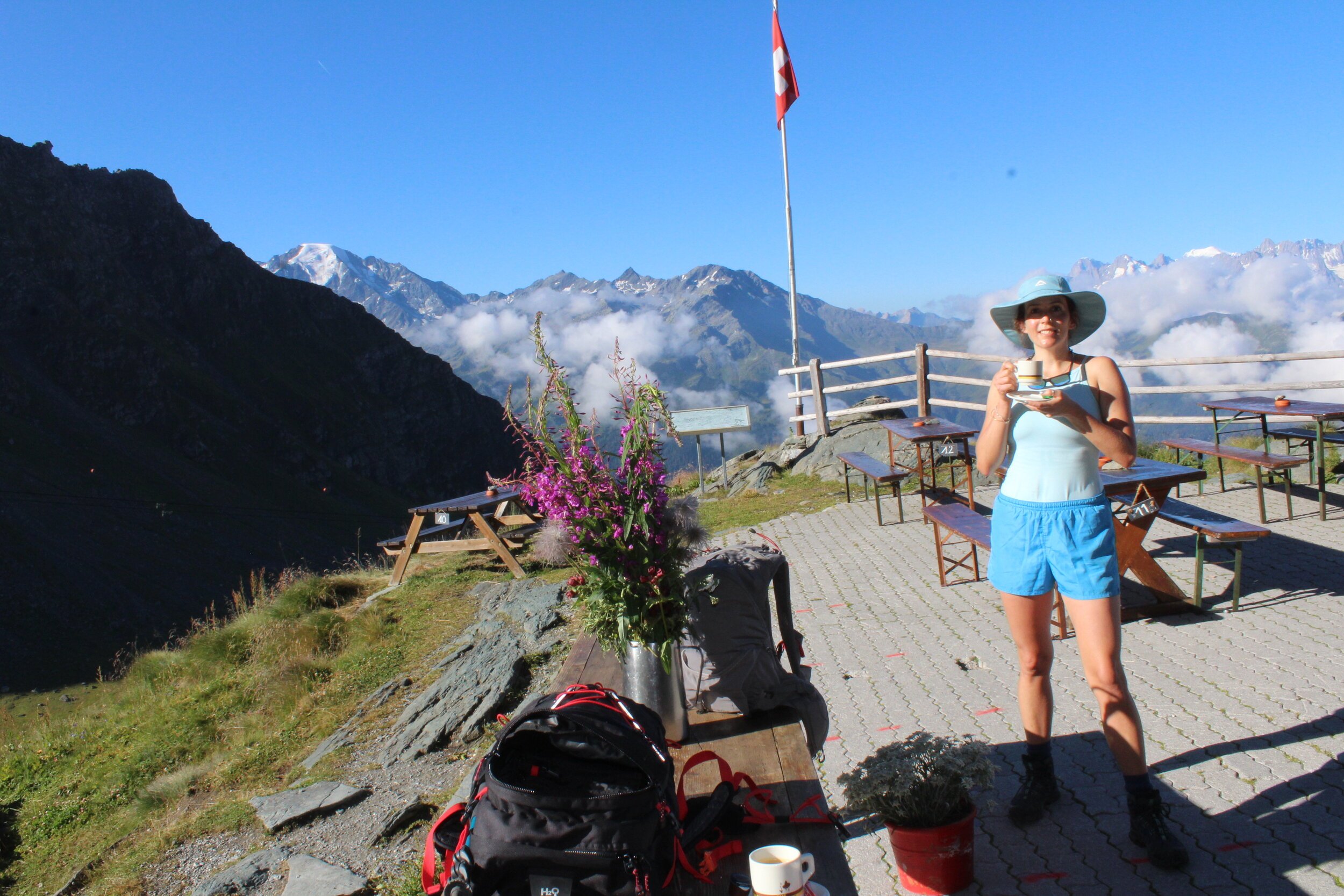
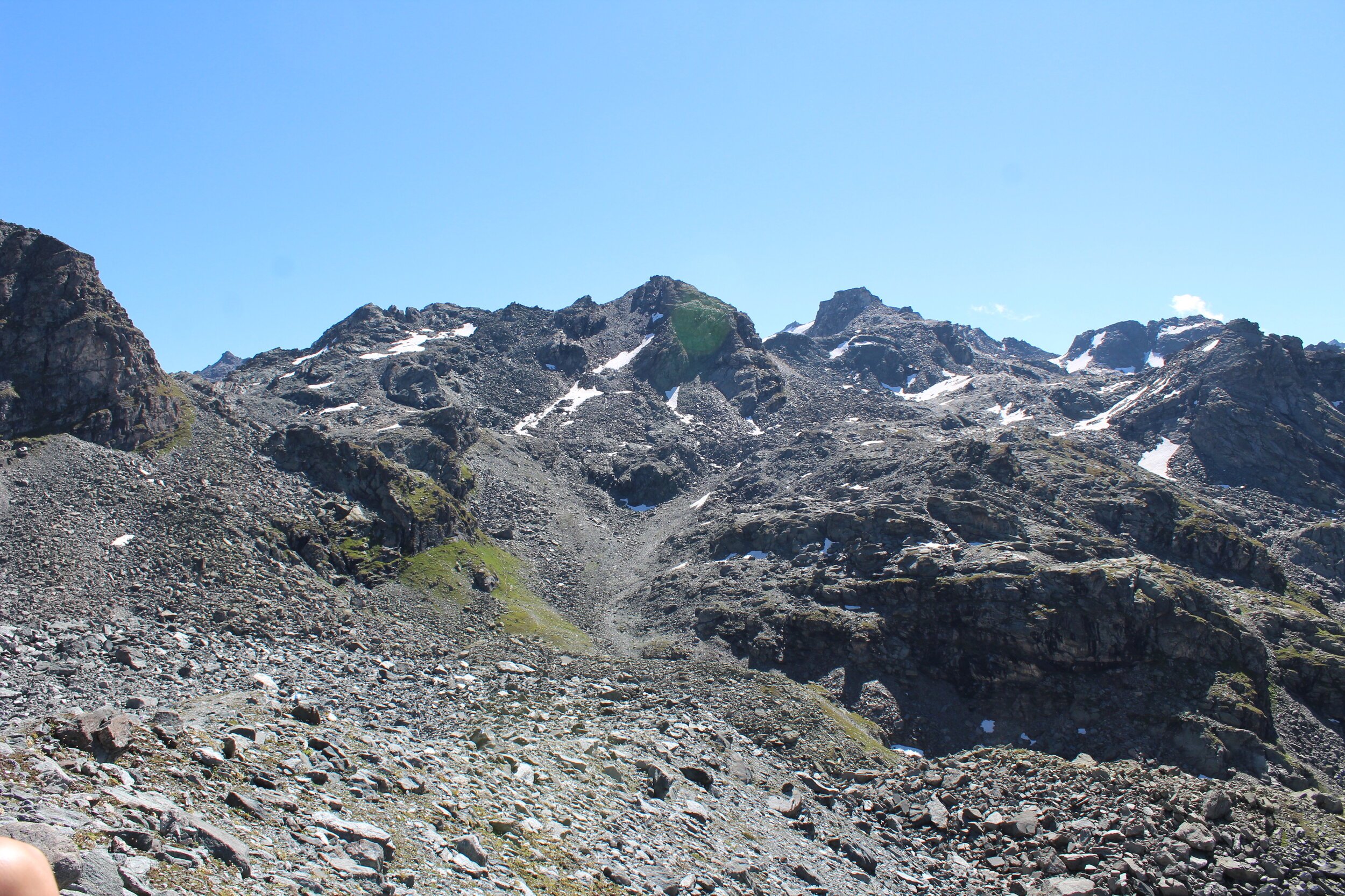
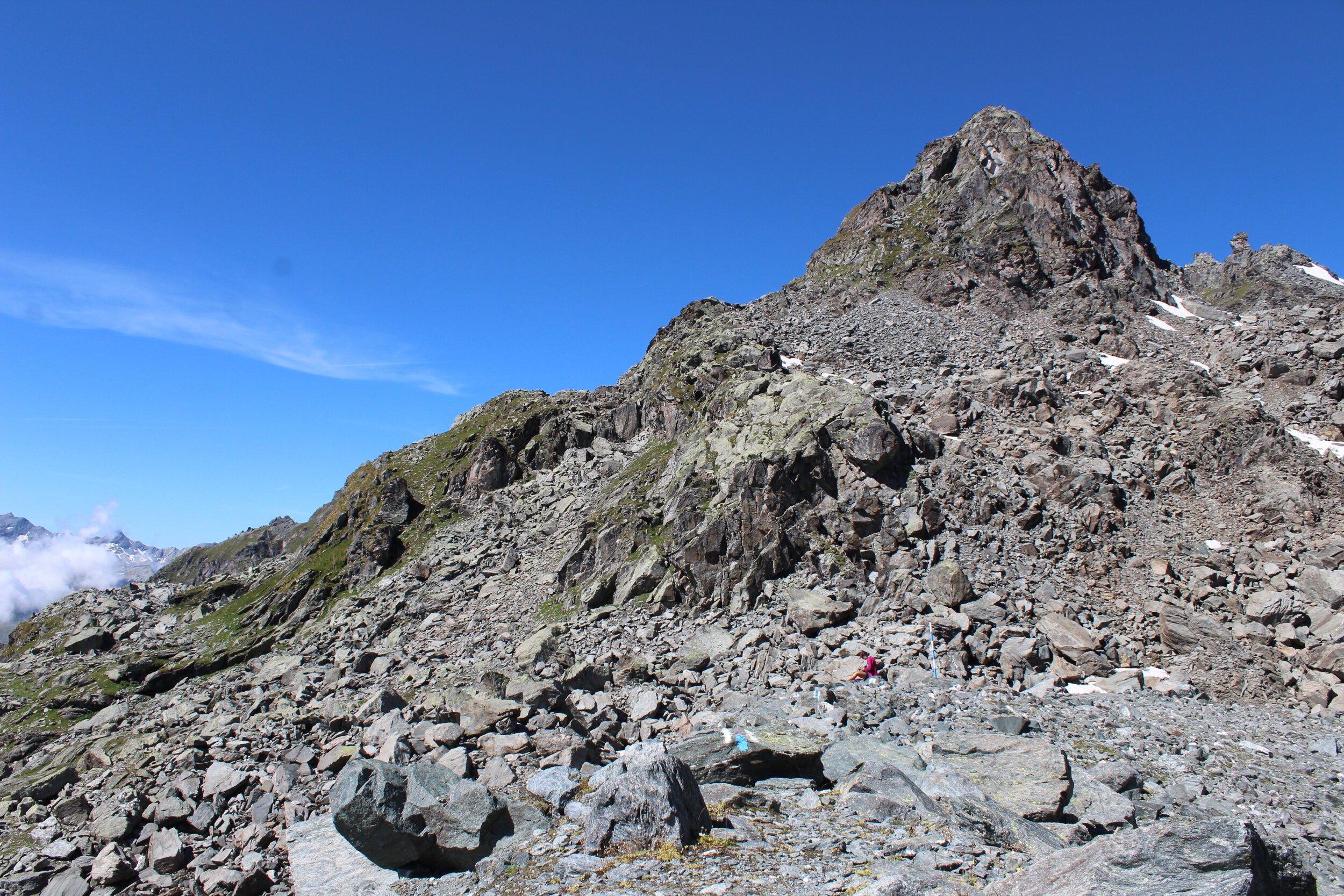
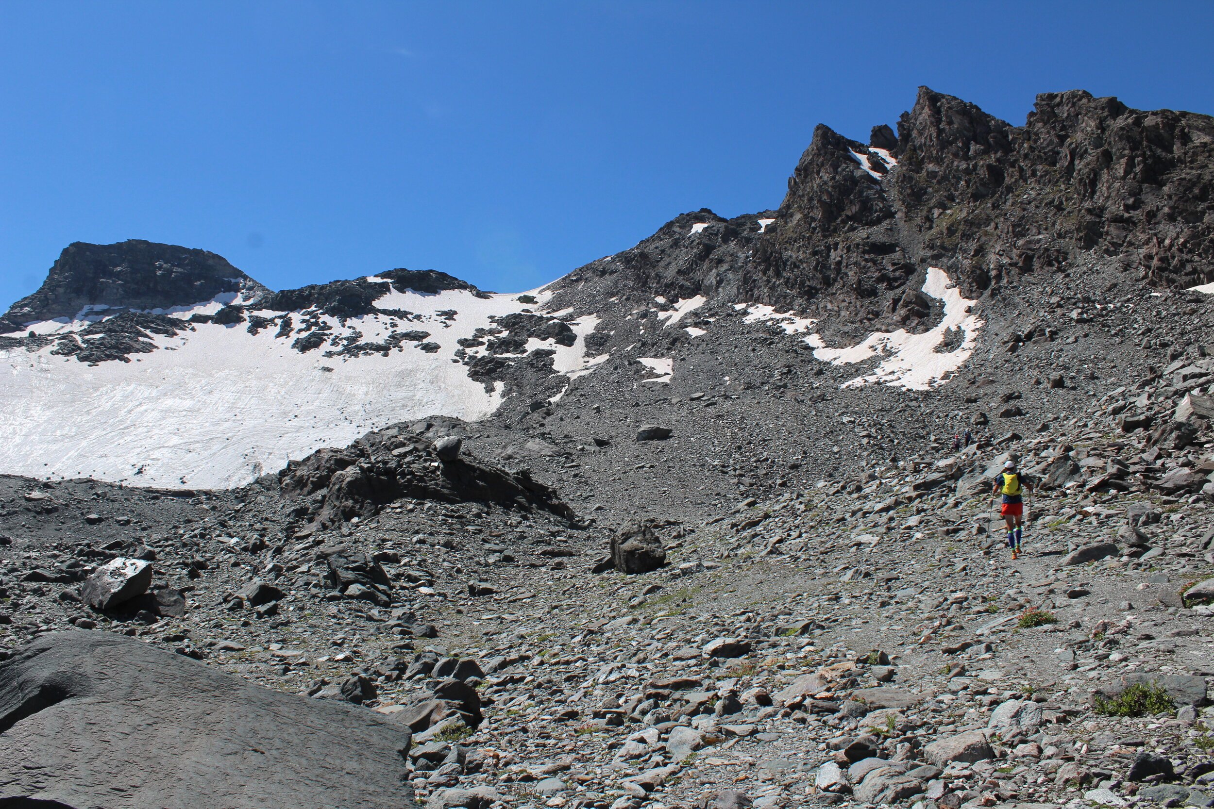
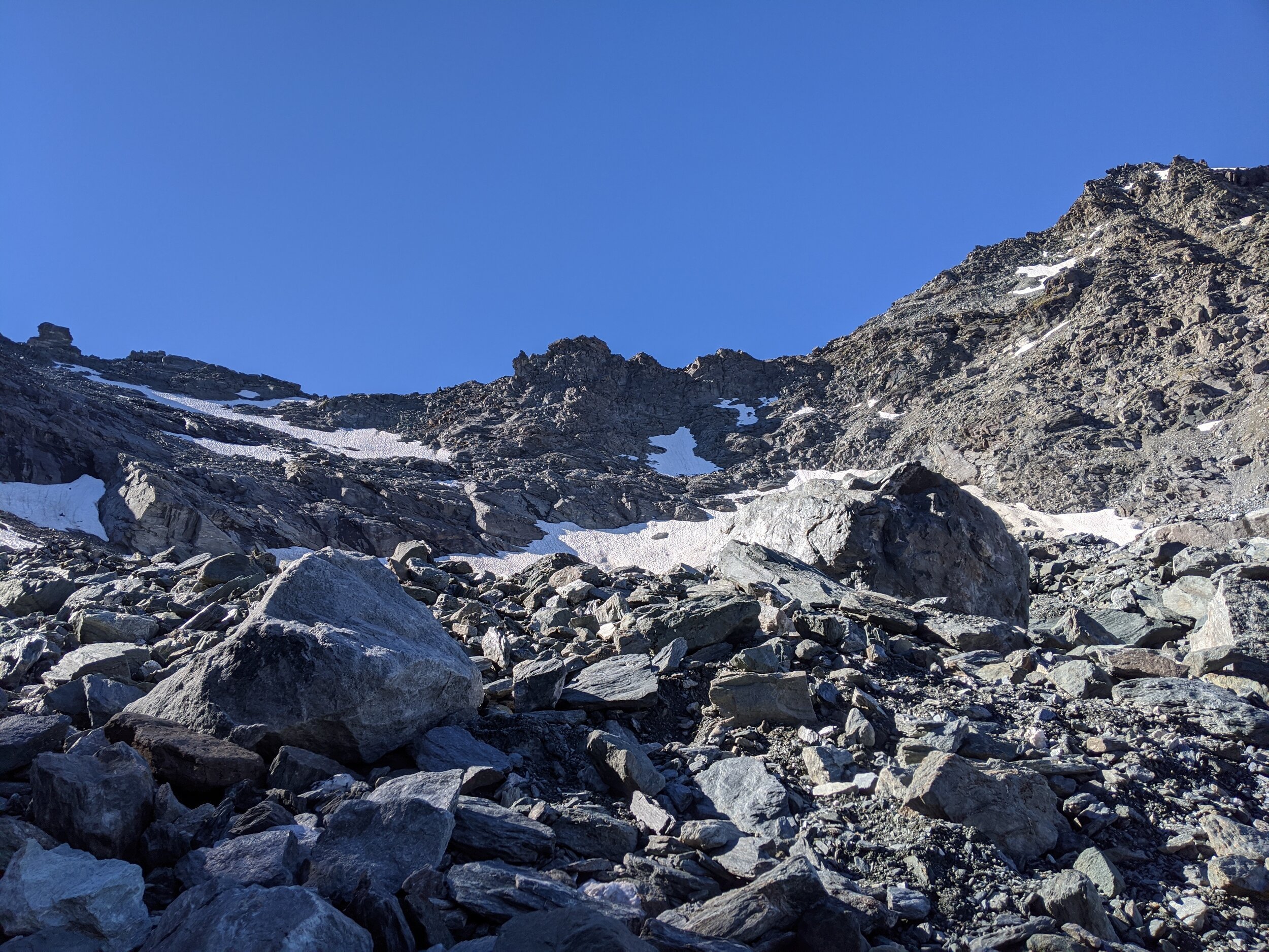
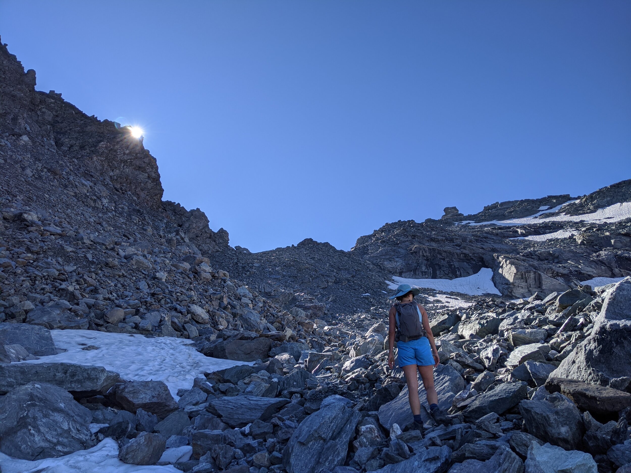
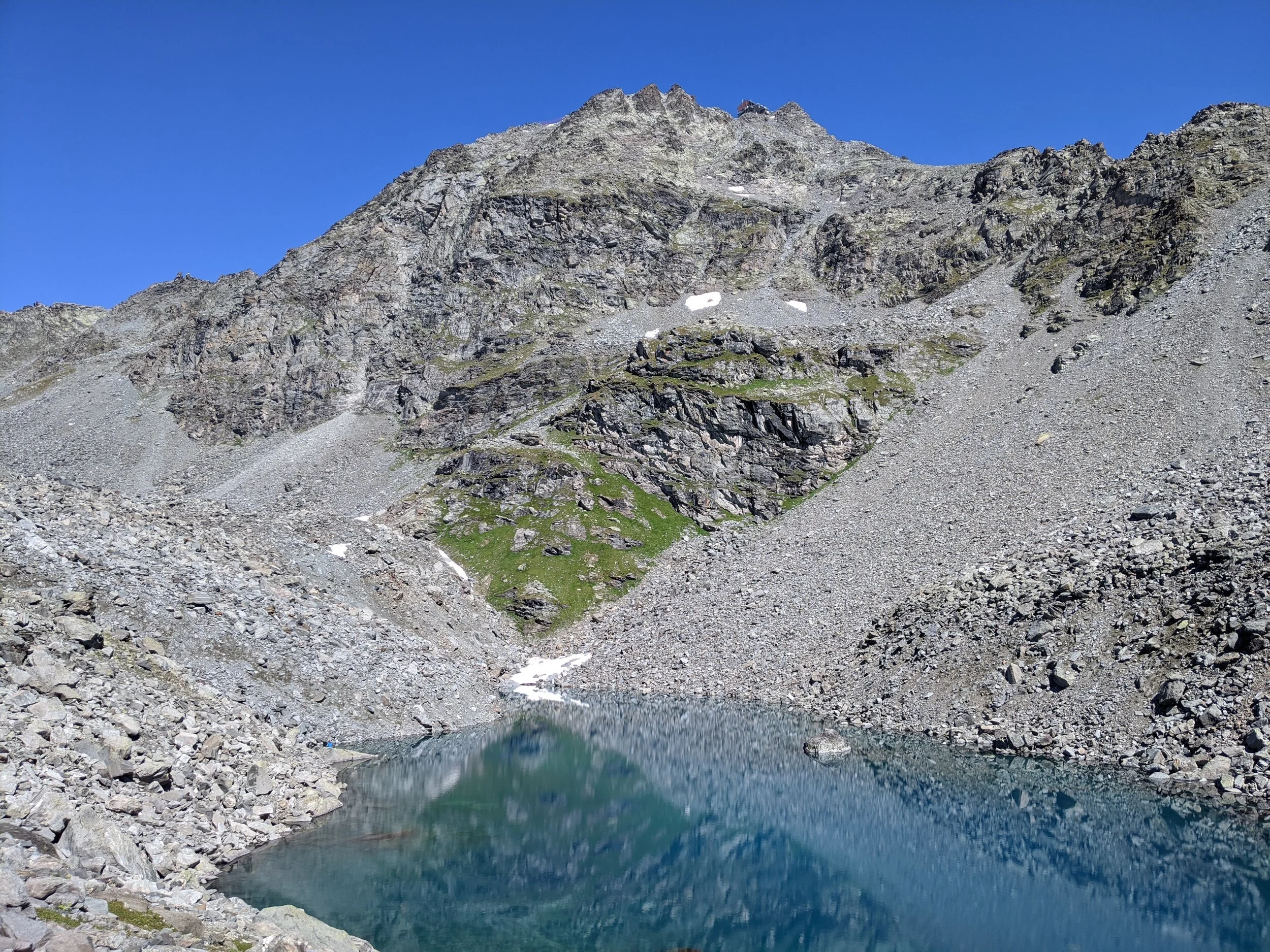
Upon arrival at Fontenay, exit along the path to your right, in the direction of Cabane Mont Fort. We stopped for a quick espresso at the Cabane to ready ourselves for the 500m steep climb to Col de la Chaux. Take note that as you approach Col de la Chaux there can be steep sections of ice and snow between large rocks and loose shale. We found this to be very precarious under foot because we did not have appropriate gear (only summer hiking shoes). Arriving at the Col is a huge relief, and the Mars-like scenery is visually stunning. The way from Col de la Chaux to Lac du Petit Mont Fort (2700m) is equally as rocky and precarious. Be on the lookout for the blue and white markers, painted on rocks - no actual footpath guides you through this section.
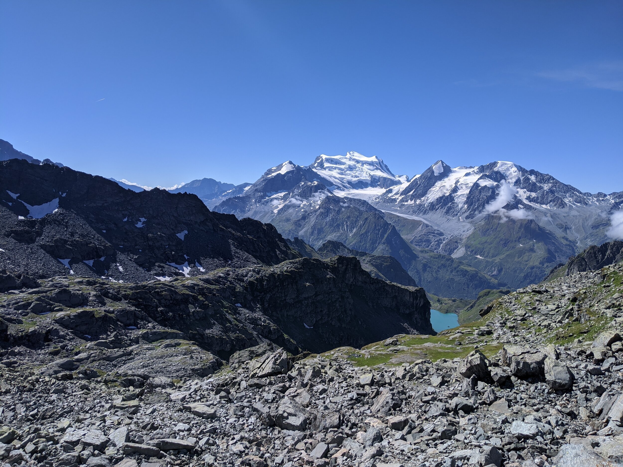
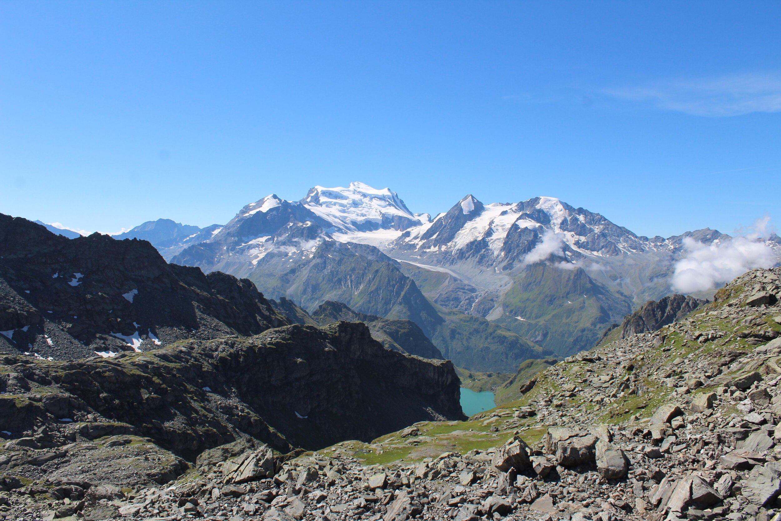
After about an hour, the views down to Lac Louvie, with a backdrop of the Grand Combin are spectacular. We stopped above Lac du Petit Mont Fort for a snack - it was a strategic place to refuel before the climb up to the next Col.
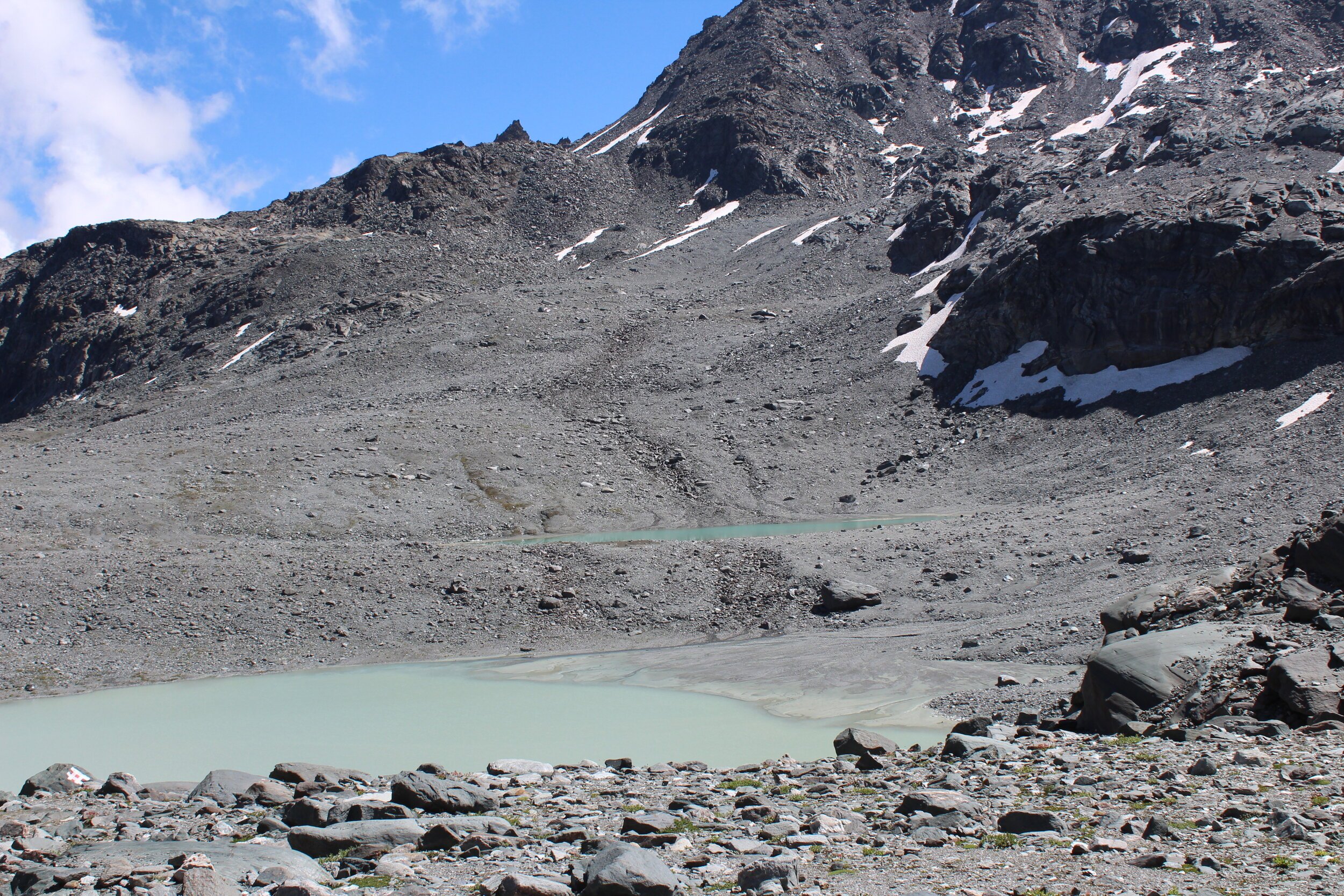
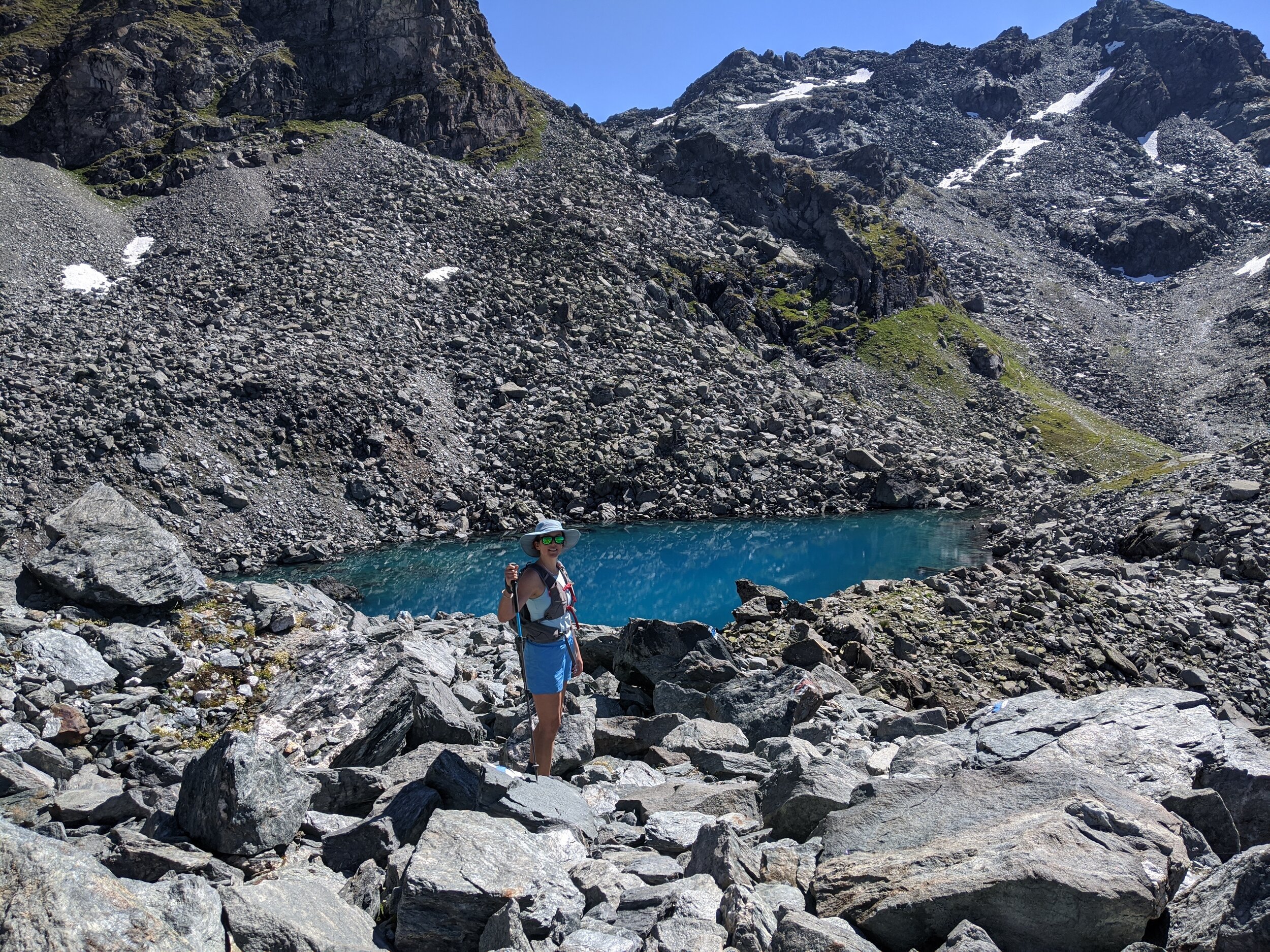
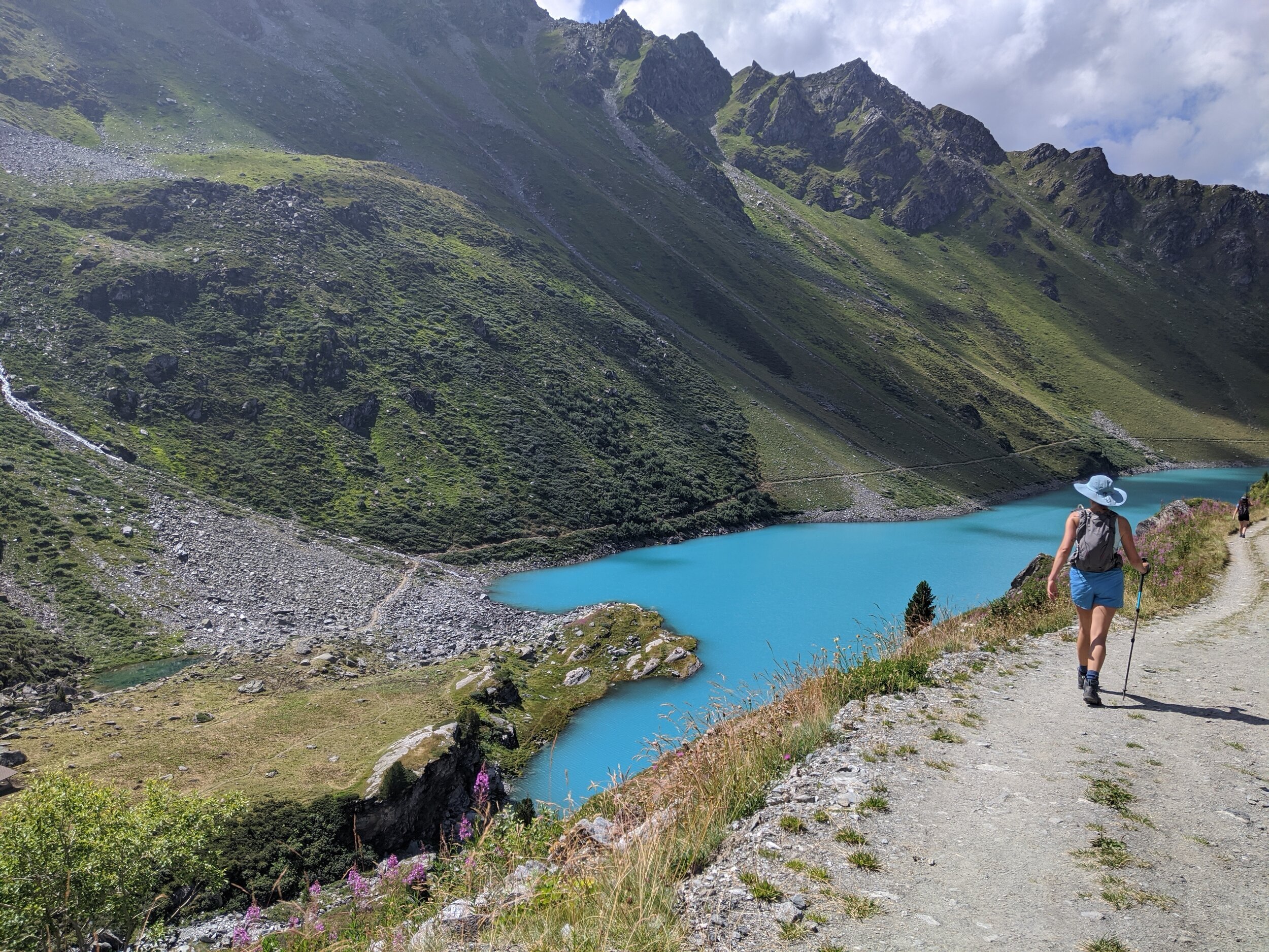
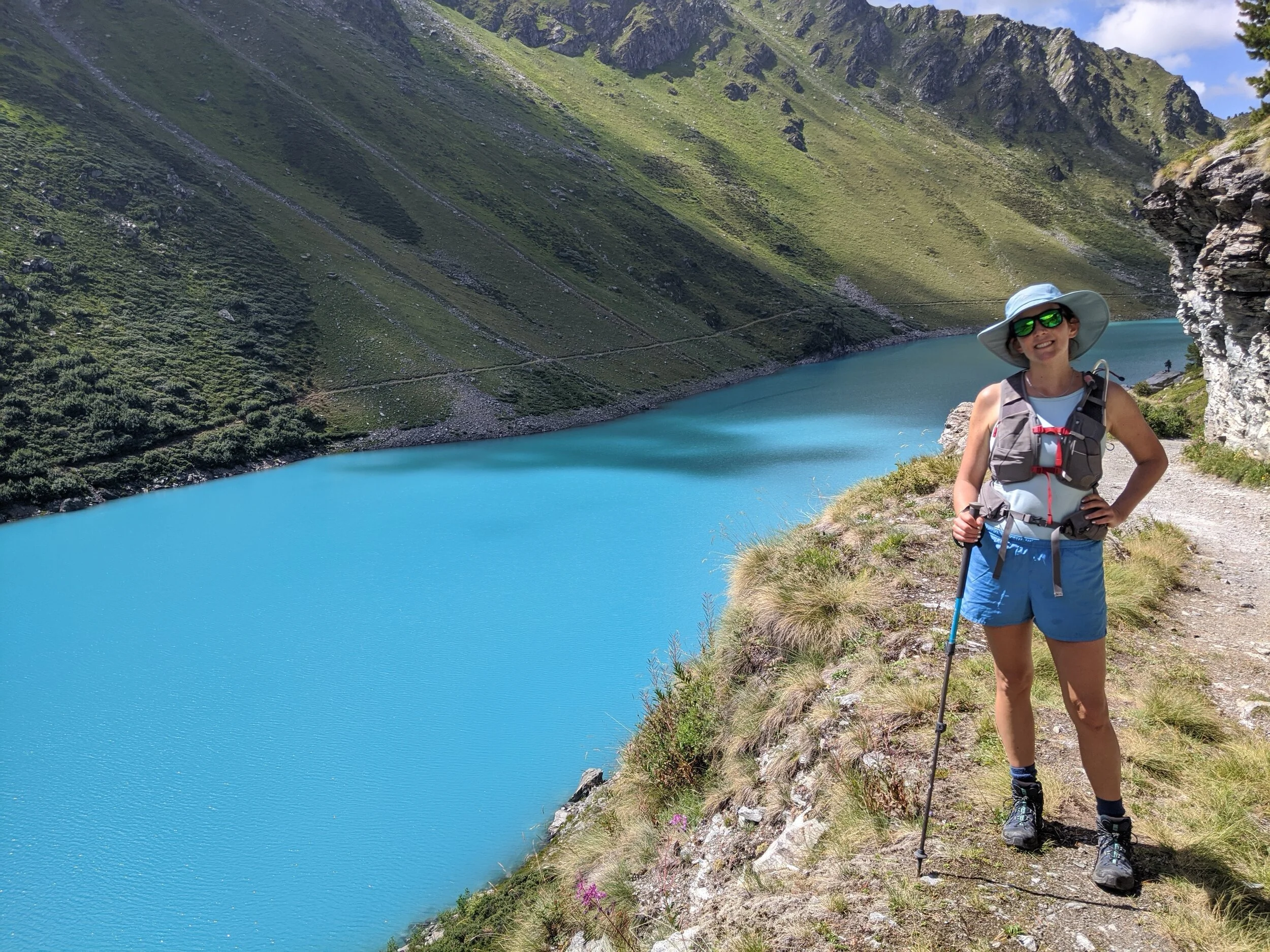
As you reach Col de Louvie, more incredible scenes await - the whole of the otherworldly Grand Desert opens up below you. Walking down to a small lake with the Grand Desert glacier on our right, was an unforgettable highlight of our hike. We stayed on the left of the small lake. There is an option to walk around the right edge of the lake, beneath the Grand Desert glacier. Crucially, as you get to the far end of the lake, the quicker route option is to remain on the left of the lake, and the river/waterway that runs off this lake and joins with the much larger Lac du Grand Désert (2650m). If you opted to veer right, the way is much longer, and you have to gain a bit of altitude, before clambering down some rocks and then walking across a sandy basin with small tributaries towards Lac du Grand Désert. Our advice is to keep the main body of water on your right from the small lake after Col de Louvie, and along the ‘desert’ as you approach Lac du Grand Désert. Once you are at the big lake, you can choose your route, and find the perfect lunch spot - there are many paths, and many options.
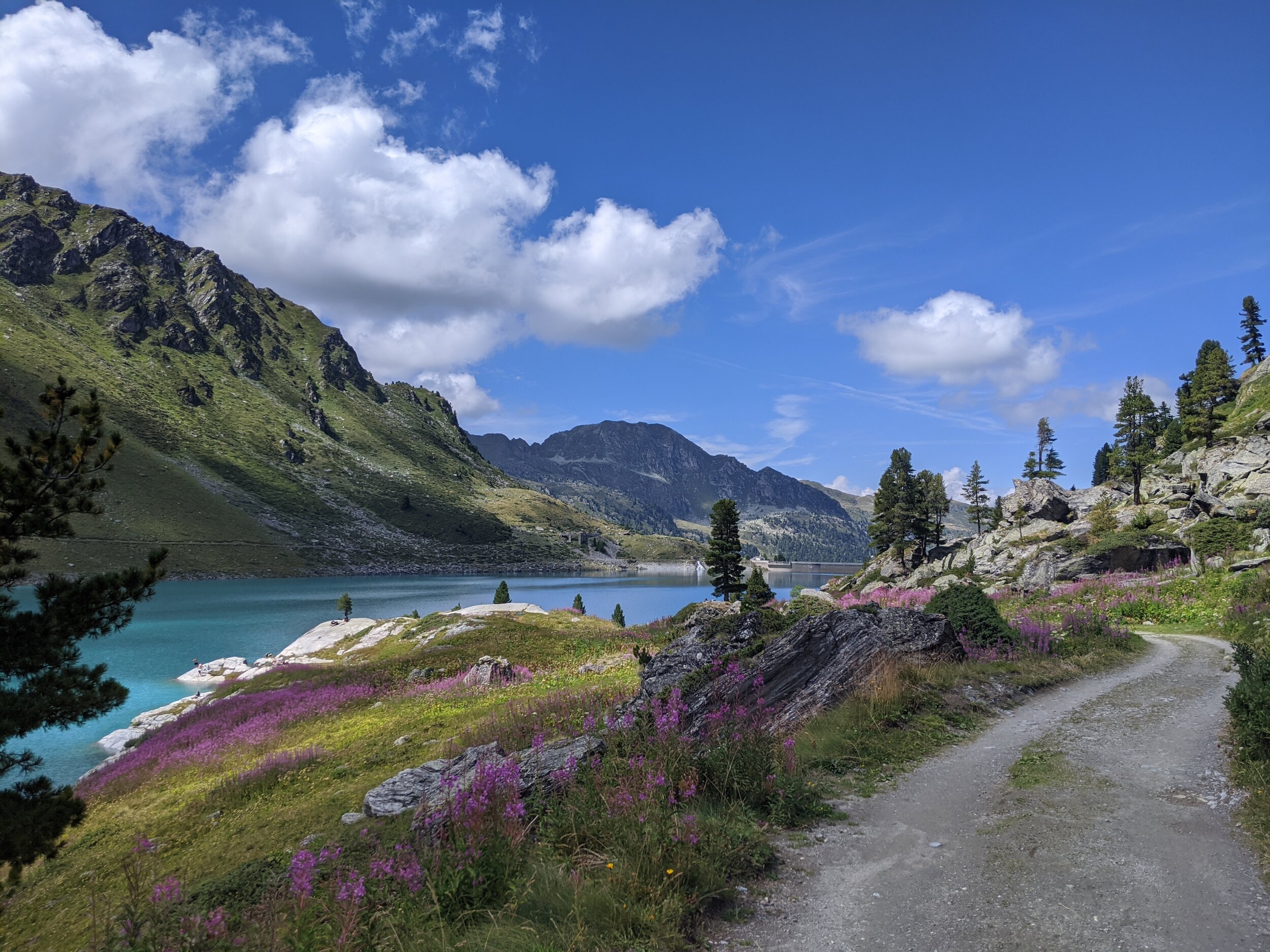
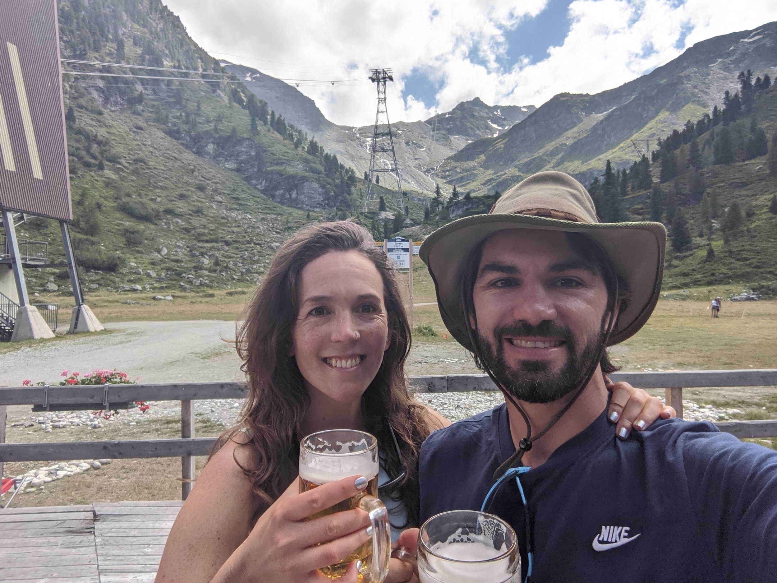
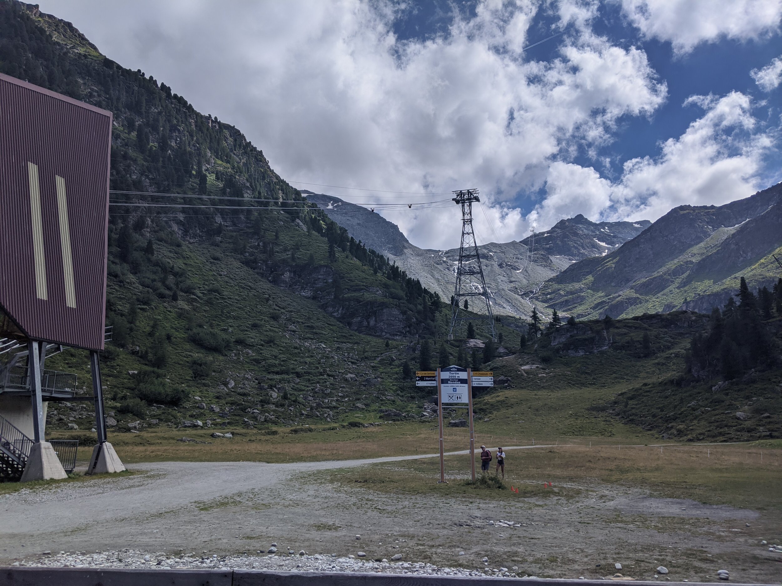
The route down from Lac du Grand Désert to Refuge de Saint-Laurent is easy to follow with stairs carved into the rockface. You will see the cabane most of the way down. Once at the cabane, continue on the main path (it’s big enough to be a dirt road in some sections), with signs to Cleuson. As you approach the azure and magical Lac Cleuson, cross over a footbridge and take the path on the right of the lake for the most direct route, however, there is an obvious path around the whole of the lake edge, so you could meander on either side. Staying on the right, you will come to the main dam wall, which you can walk over. Follow the dam wall until you have reached the point where the dam wall meets the left side of the lake footpath. At this point, with the body of water to your back, turn right onto a small path with stairs down the side of the dam wall. This path is quite steep and can be busy with day-trippers and dam-goers. if you want to make it to the Tortin gondola station, remain on this footpath, and don’t walk over to the road for vehicles. The road will take you down to Siviez. After about 40mins on this path in the direction of Tortin, you will meet a dirt road. Turn left here onto the road and continue in a consistent incline along the road for another 20mins. You will see the Tortin station in a small valley ahead of you. Pass the first smaller station with only ski lifts from Siviez, and cross the fields to the larger station with restrooms, a bar, and the multi-person cable car waiting. Grab a cold beer if there is time!

Click on the map above to gain full Suunto map and stats for route.
Does the idea of hiking around the stunning high-altitude ski-resort town of Verbier in the Swiss Alps excite you?
Join Nina on a 6 day guided hiking route through the Bagnes Valley, starting in Verbier!