Verbier Hike: Les Ruinettes - La Chaux Col Termin - Fontenay
Col Termin
Les Ruinettes - La Chaux - Col Termin - Fontenay
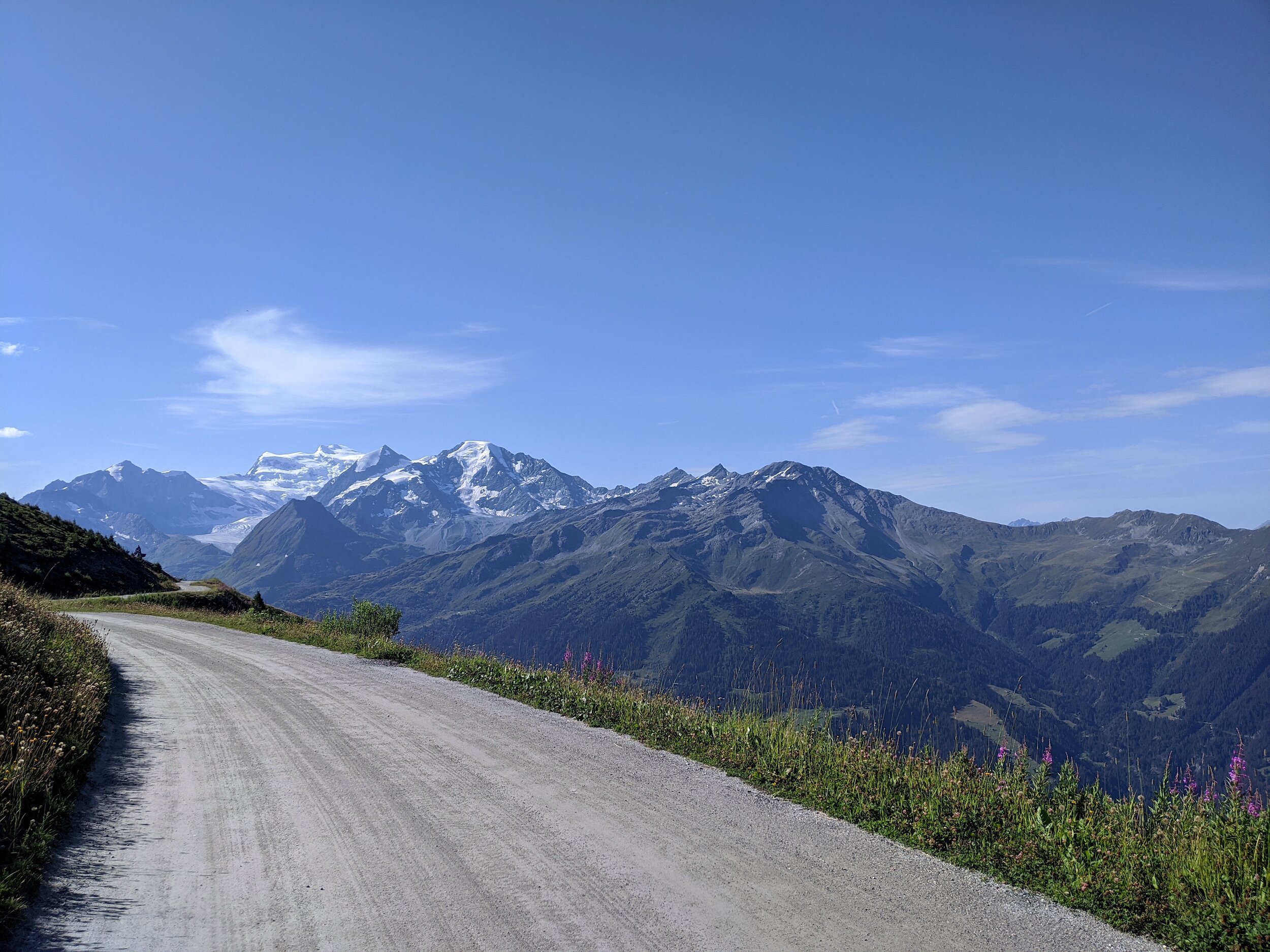
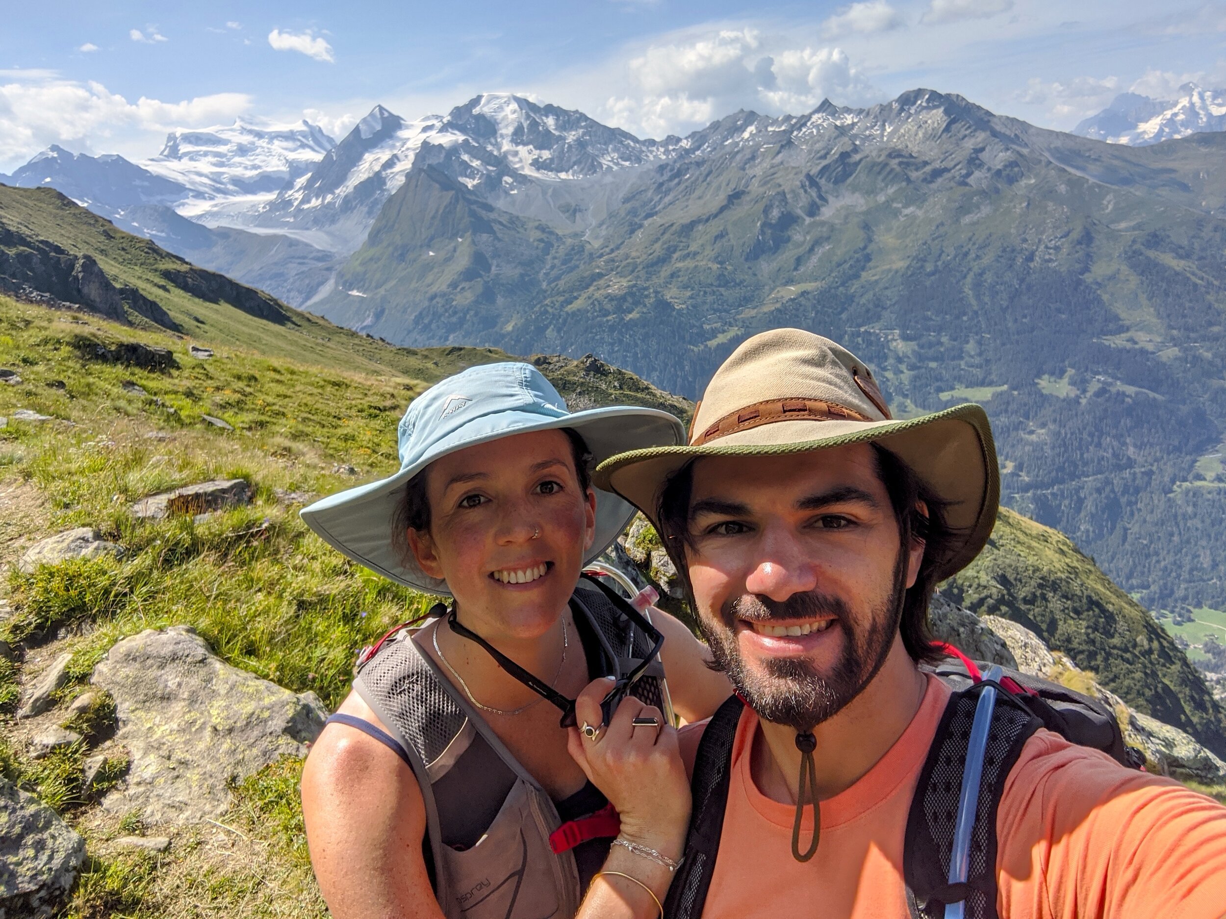
This is scenic, but accessible half-day hike. This is highly recommended for those who are not experienced hikers but still want to enjoy some dramatic views of the Grand Combin, and feel as though you are in high mountains. It is well marked and very secure underfoot the entire way.
DISTANCE: 15,46 kms
MOVING TIME: 5hrs 07min | TOTAL TIME: 6hrs 25min
ASCENT: 762m | DESCENT: 562m

Route Description
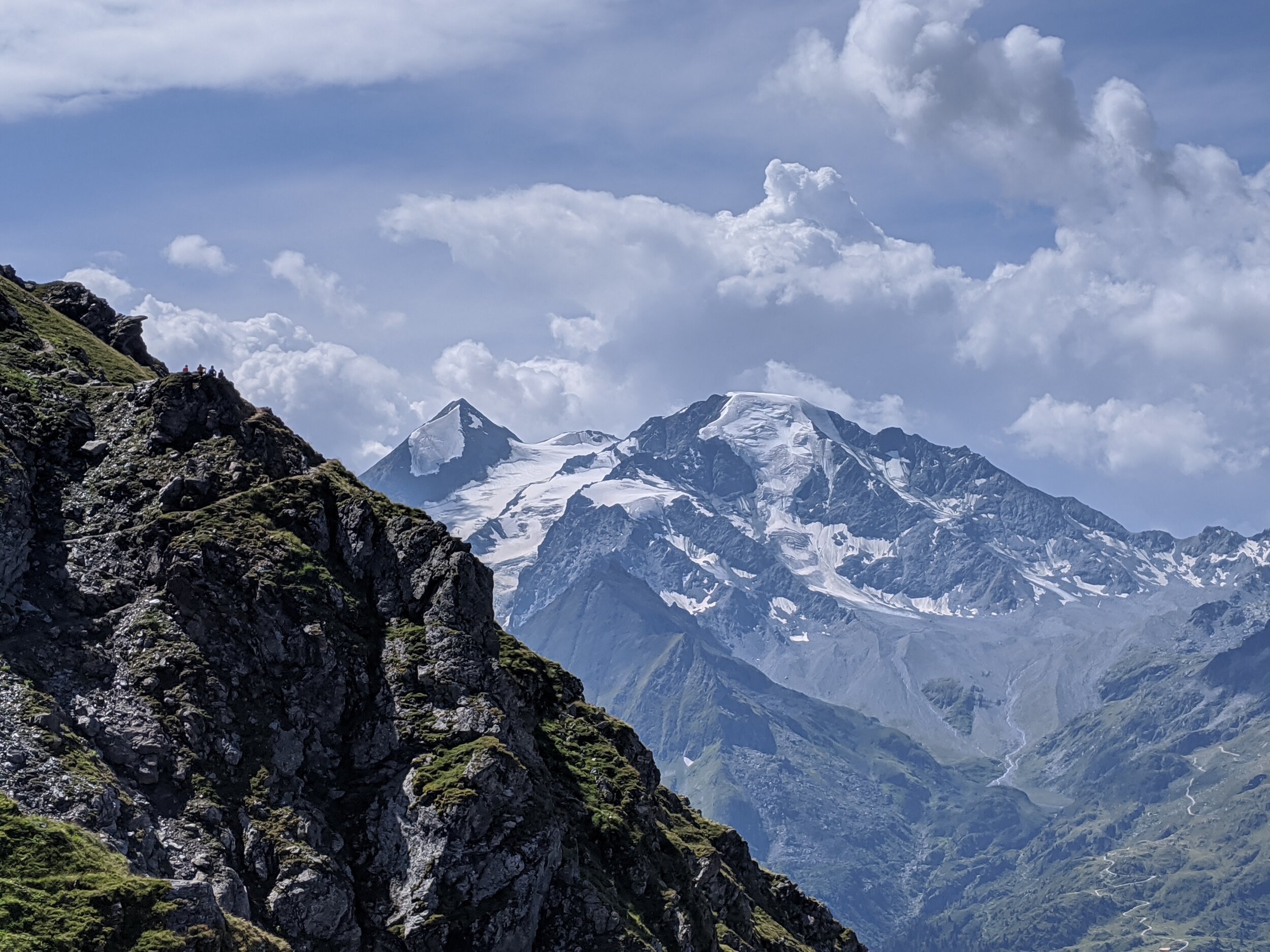
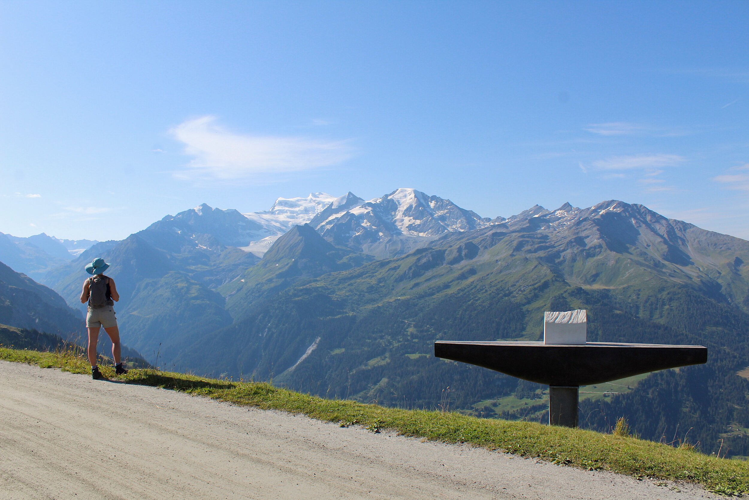
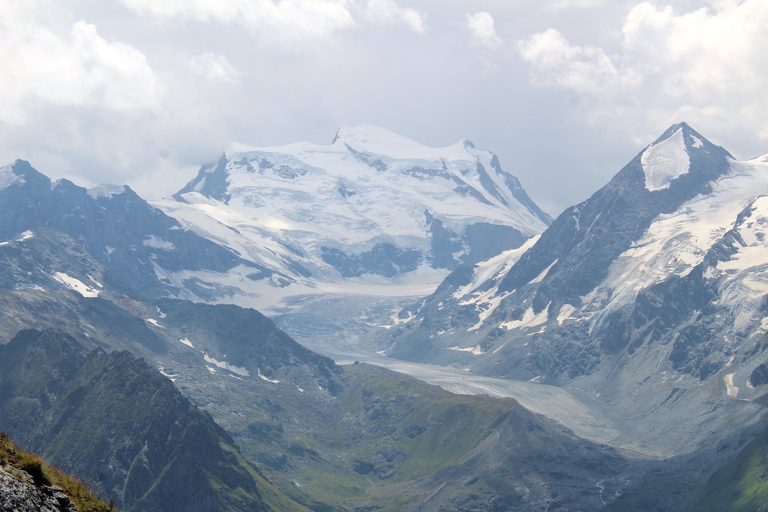
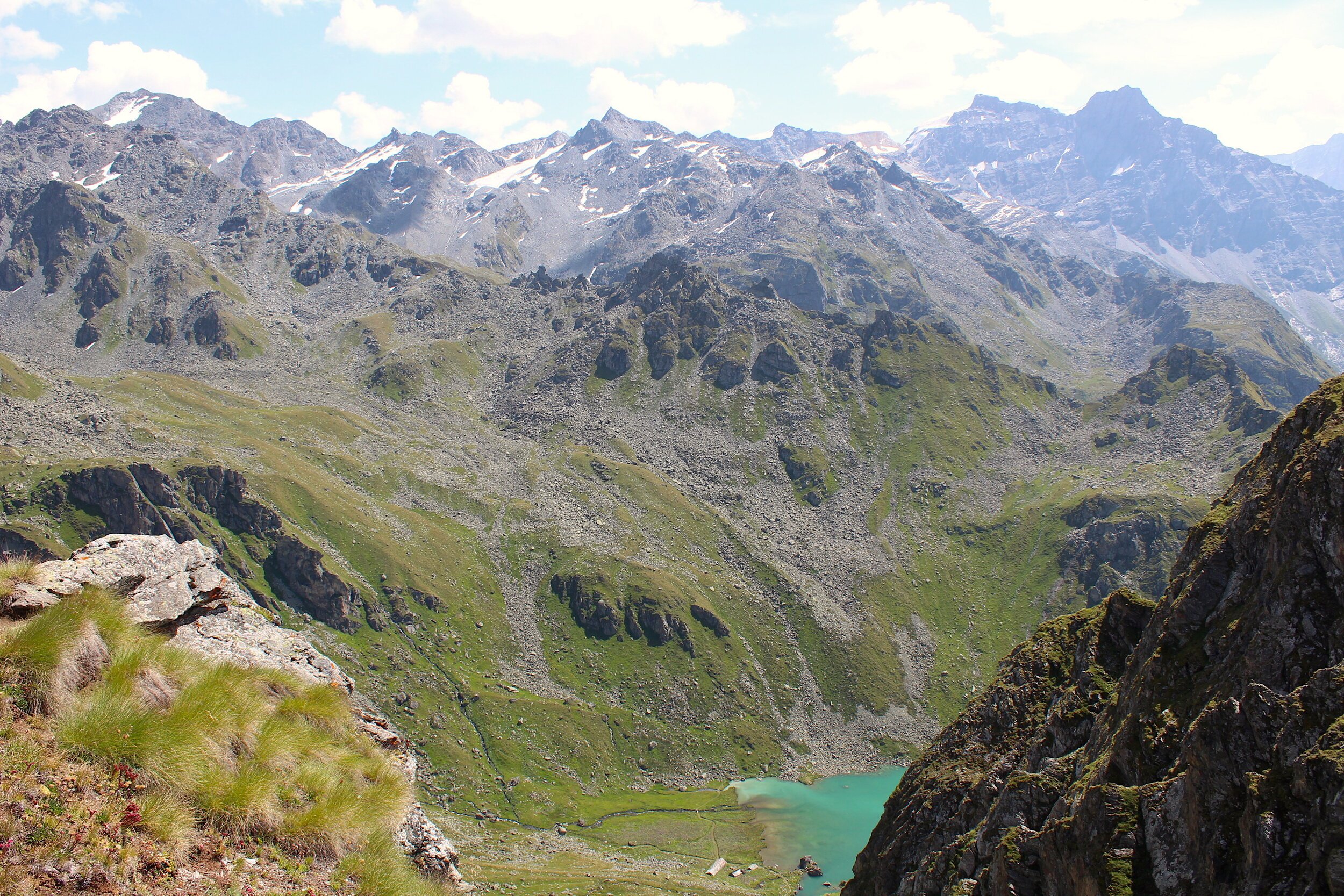
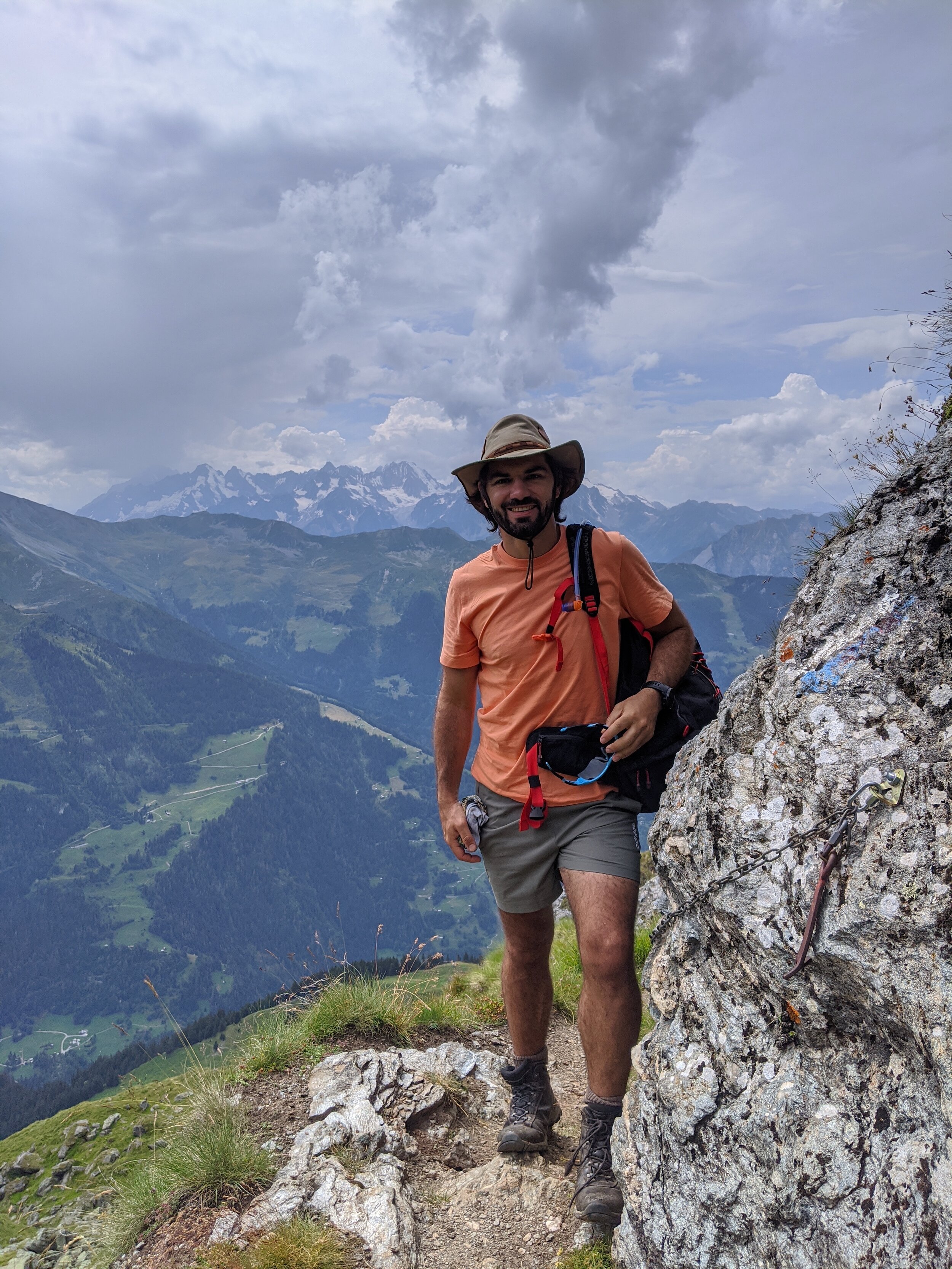
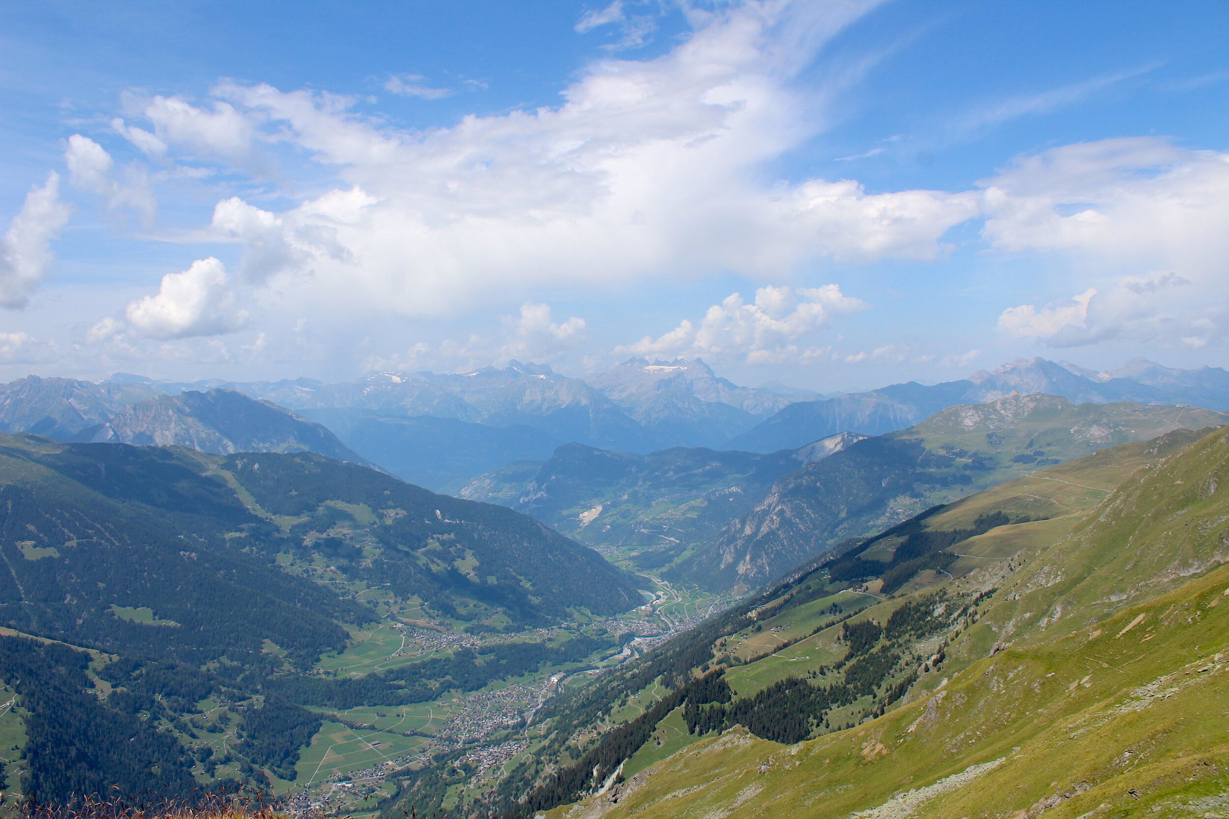
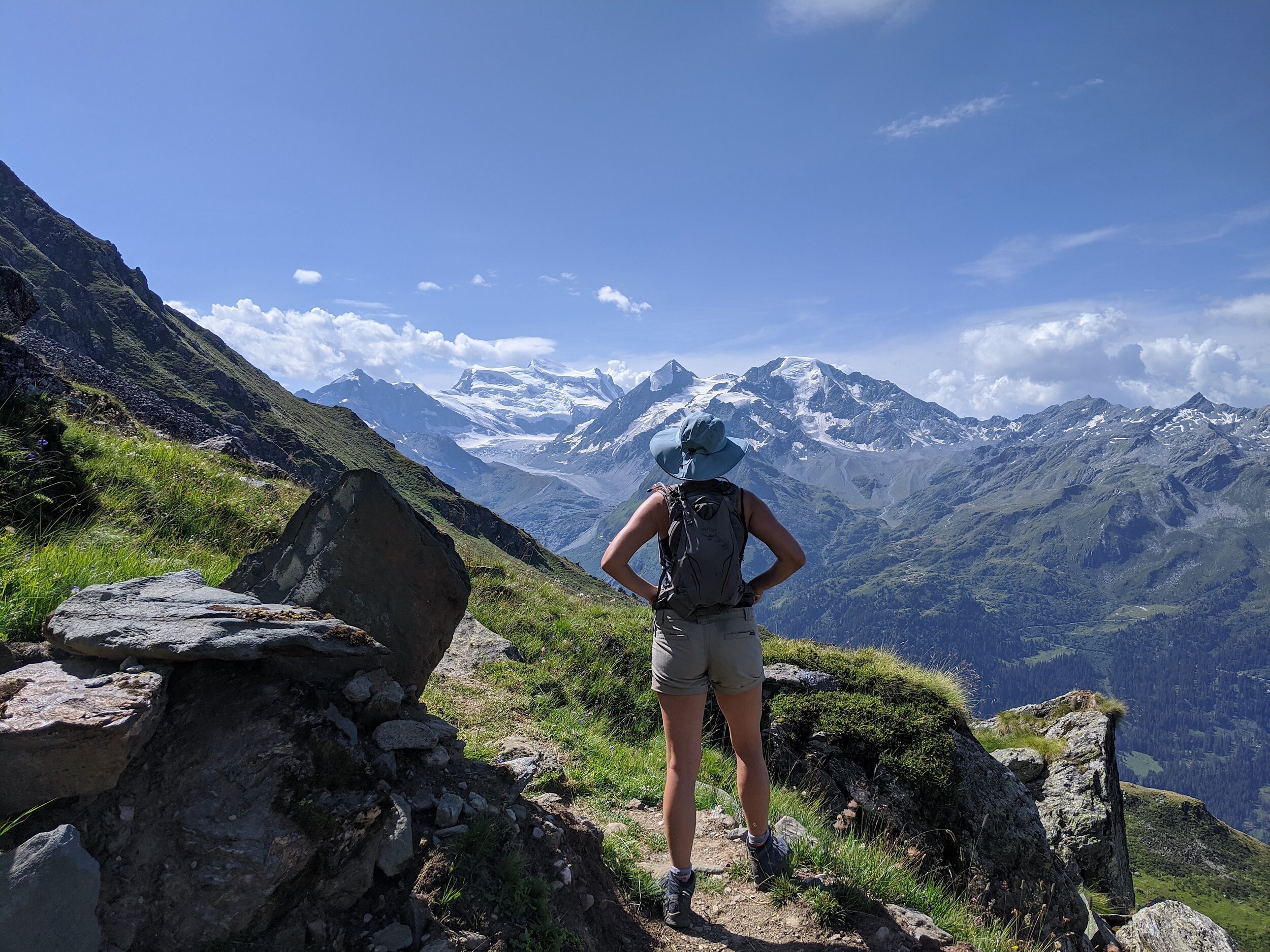
Exit Les Chaux gondola station in the direction of La Dahu restaurant. Walk past the restaurant and veer to the right, towards the cow stables (the aromas will guide you!) Skirt around the front (Bagnes Valley facing) of the stables and join a path that continues to descend gradually. The path joins with a gravel road. Follow the road until you see another foot path to your left. Do not take the first foot path to the left as this follows a road to the tunnel, now closed. Take the second path that winds across an undulating grassy slope. You should see signs to Col Termin. Follow the path as it wraps in a contour around the mountain face. The views into the Bagnes Valley, and even across to the Combin massif, are magnificent. The path undulates, with a few short sharp inclines. Eventually you will reach a point where the incline is continuous, with some classic Swiss switchbacks. It’s a good idea to grab a snack because this climb gets the heart racing. You will switchback up until you reach a t-junction with the ‘haute route’ path from Cabane du Mont Fort to Col Termin. Take this path towards the Col. The views continue to delight, and some sections can get quite tricky under foot. In the last section before you reach the Col you will need to clamber over rocks. Col Termin is the perfect spot for some lunch, or a snack. We took a small path to the right as you look down the spectacular, azure Lac Louvie. Along this path we found a lovely grassy perch for lunch with views of the Lac and the Grand Combin.
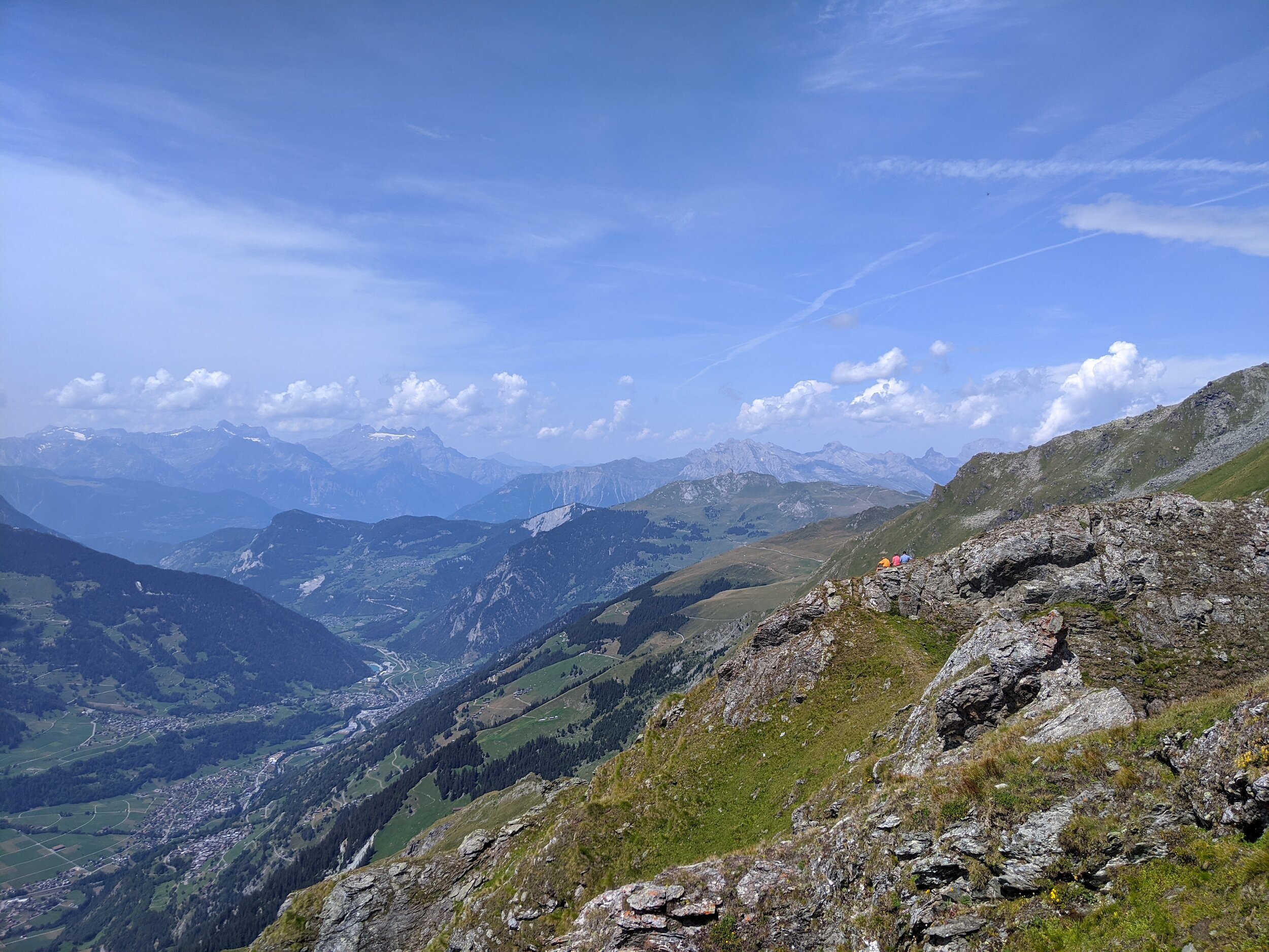
After lunch, return to the Cold junction. You have two options for the return route: You can take the same route you came on, the lower path path back to Les Chaux. Or, you can stay on the ‘high route’ and skirt around the top of the valley adjacent to Les Chaux, stopping in at Cabane du Mont Fort, and then joining a 30min well-marked flat path from there to Fontenay.

Click on the map above to gain full Suunto map and stats for route.
Does the idea of hiking around the stunning high-altitude ski-resort town of Verbier in the Swiss Alps excite you?
Join Nina on a 6 day guided hiking route through the Bagnes Valley, starting in Verbier!